UN/LOCODE hub · Belgium
BEHGG
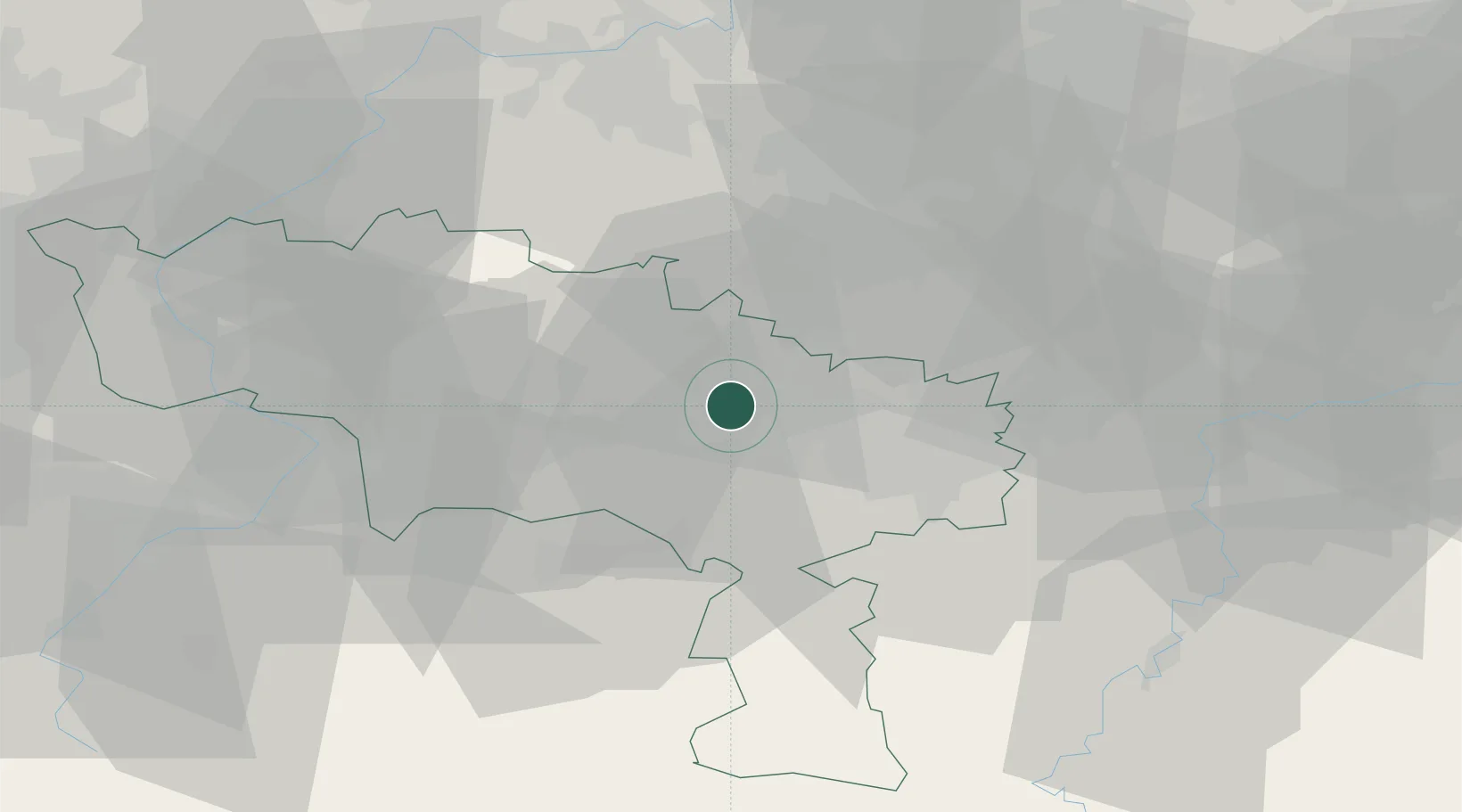
Houdeng-Goegnies
50.4946°, 4.1874°
14,312
Population
2
Transport functions
Transport Functions
Port
Road
Hub Profile
Place type
Populated place
Region
Wallonia
Population
14,312
Time zone
Europe/Brussels
Elevation
132 m
Logistics facilities
1
Location
Nearby Logistics Neighbours
Cities
- 1Manage2 km
- 2Houdeng-Aimeries4 km
- 3Bellecourt5 km
- 4Soudromont5 km
- 5Seneffe5 km
Airports
- 1Brussels South Charleroi Airport20 km
- 2Chièvres Air Base27 km
- 3Florennes Air Base43 km
- 4Brussels Airport50 km
- 5Beauvechain Air Base50 km
Trade Zones
DatabookThe Record of Consolidated Knowledge
Belgium beyond logistics?