Transport Functions
Port
Rail
Road
Hub Profile
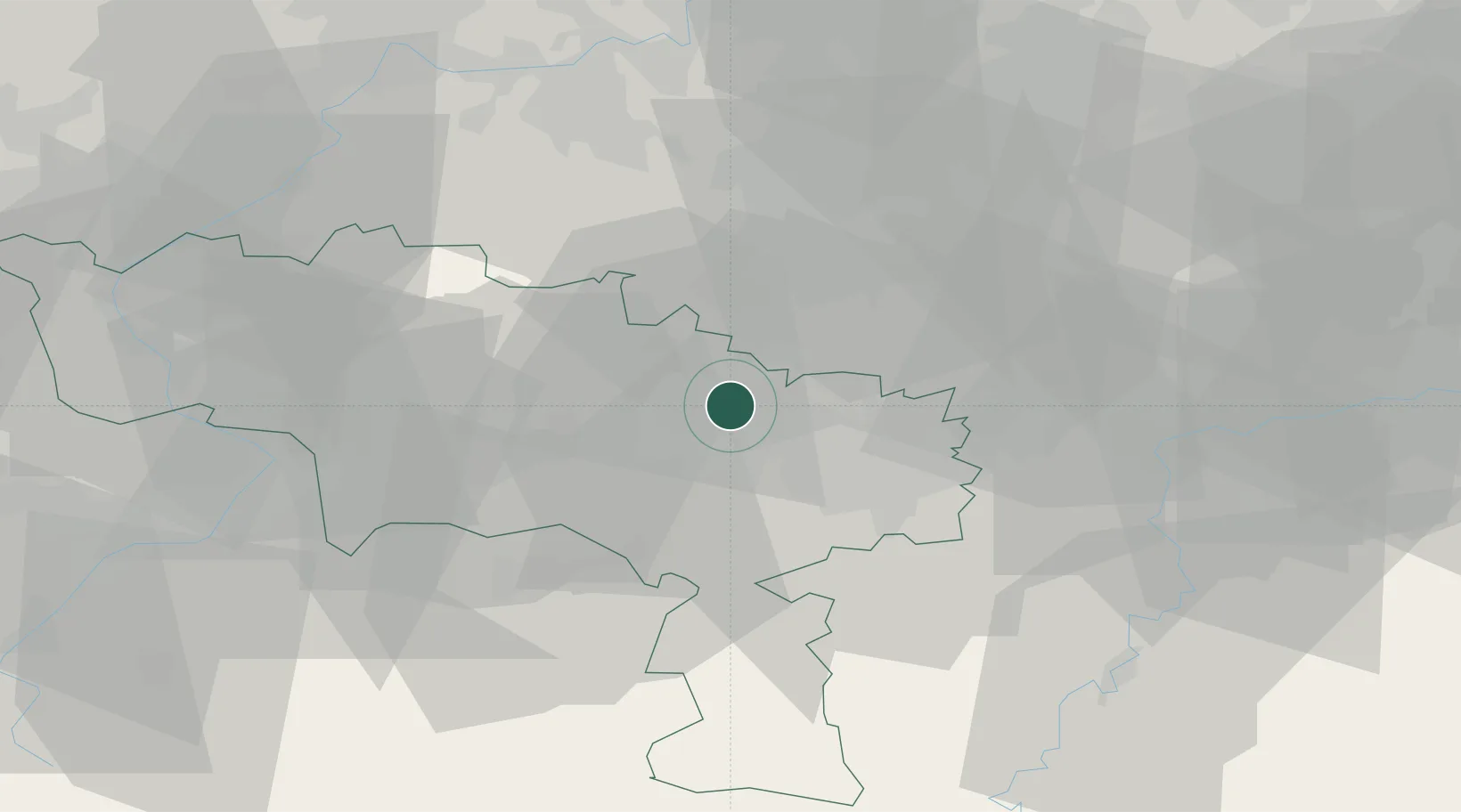
Place type
Populated place
Region
Wallonia
Population
11,025
Time zone
Europe/Brussels
Elevation
112 m
Location
Nearby Logistics Neighbours
Cities
- 1Soudromont0 km
- 2Manage3 km
- 3Bellecourt4 km
- 4Houdeng-Goegnies5 km
- 5Feluy6 km
Airports
- 1Brussels South Charleroi Airport16 km
- 2Chièvres Air Base30 km
- 3Florennes Air Base41 km
- 4Beauvechain Air Base45 km
- 5Brussels Airport46 km
Trade Zones
DatabookThe Record of Consolidated Knowledge
Belgium beyond logistics?