UN/LOCODE hub · Belgium
BEHGA
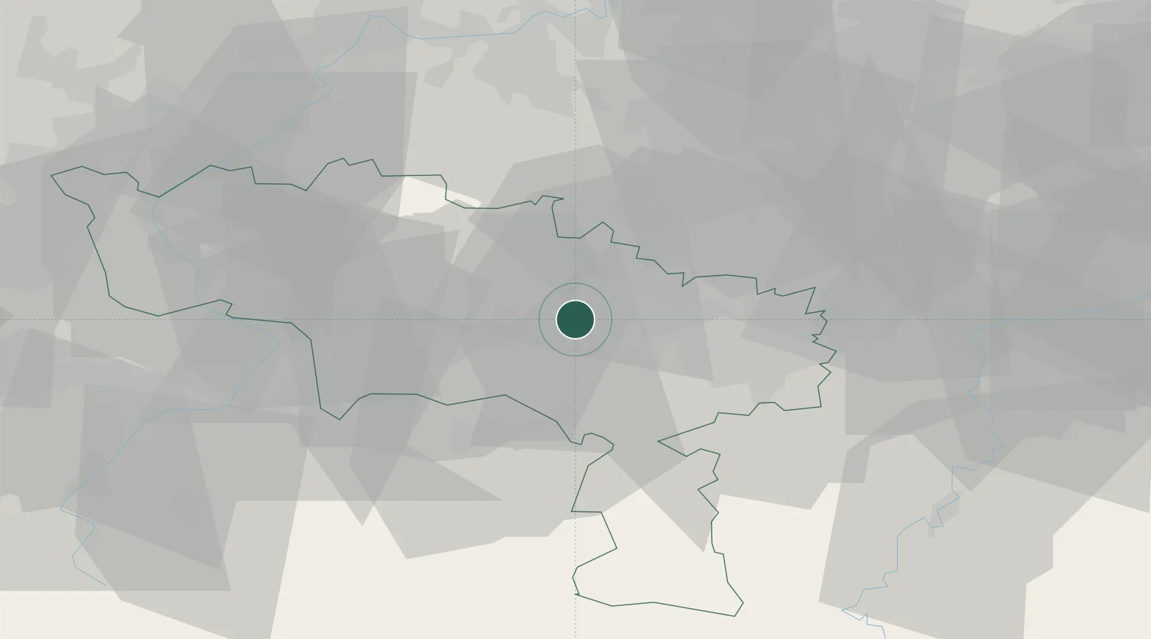
Houdeng-Aimeries
50.4833°, 4.1333°
7,534
Population
2
Transport functions
Transport Functions
Port
Road
Hub Profile
Place type
Populated place
Region
Wallonia
Population
7,534
Time zone
Europe/Brussels
Elevation
96 m
Location
Nearby Logistics Neighbours
Cities
- 1Le Roeulx3 km
- 2Thieu4 km
- 3Houdeng-Goegnies4 km
- 4Maurage5 km
- 5Péronnes/Binche6 km
Airports
- 1Brussels South Charleroi Airport23 km
- 2Chièvres Air Base24 km
- 3Florennes Air Base45 km
- 4Valenciennes-Denain Airfield51 km
- 5Brussels Airport53 km
Trade Zones
DatabookThe Record of Consolidated Knowledge
Belgium beyond logistics?