Transport Functions
Port
Road
Hub Profile
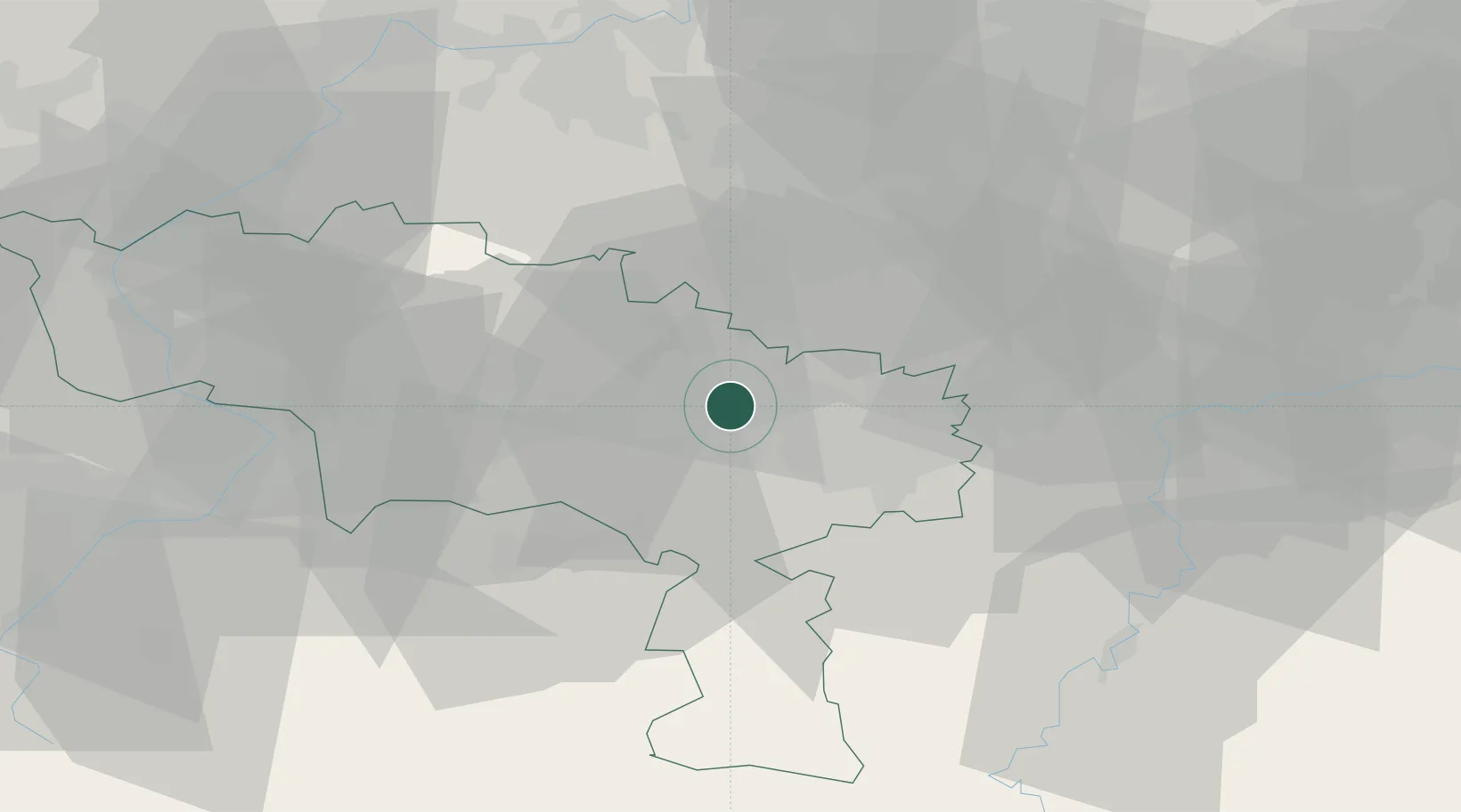
Place type
Populated place
Region
Wallonia
Population
2,278
Time zone
Europe/Brussels
Elevation
145 m
Location
Nearby Logistics Neighbours
Cities
- 1Manage3 km
- 2Soudromont4 km
- 3Seneffe4 km
- 4Houdeng-Goegnies5 km
- 5Pont-à-Celles7 km
Airports
- 1Brussels South Charleroi Airport15 km
- 2Chièvres Air Base31 km
- 3Florennes Air Base39 km
- 4Beauvechain Air Base48 km
- 5Brussels Airport49 km
Trade Zones
DatabookThe Record of Consolidated Knowledge
Belgium beyond logistics?