Transport Functions
Port
Road
Hub Profile
Place type
Local administrative seat
Region
Flanders
Population
23,546
Time zone
Europe/Brussels
Elevation
6 m
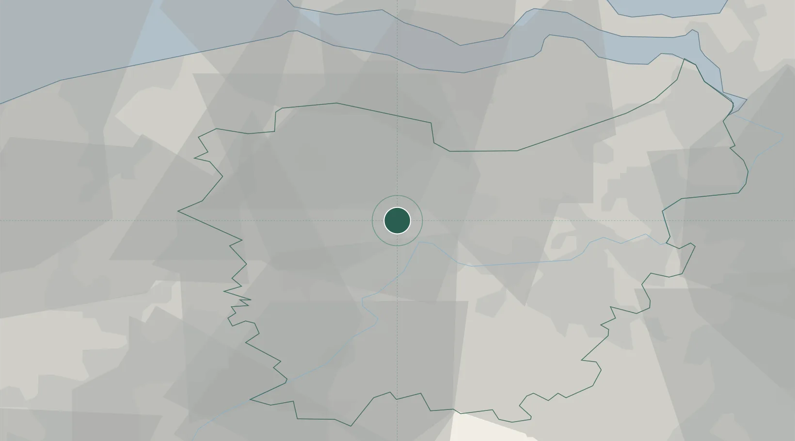
Location
Nearby Logistics Neighbours
Cities
- 1Sint-Amandsberg3 km
- 2Langerbrugge4 km
- 3Evergem4 km
- 4Gentbrugge4 km
- 5Drongen5 km
Ports
- 1Ghent2 km
- 2Terneuzen31 km
- 3Bruges39 km
- 4Vlissingen42 km
- 5Hansweert45 km
Airports
Trade Zones
DatabookThe Record of Consolidated Knowledge
Belgium beyond logistics?