Transport Functions
Port
Road
Hub Profile
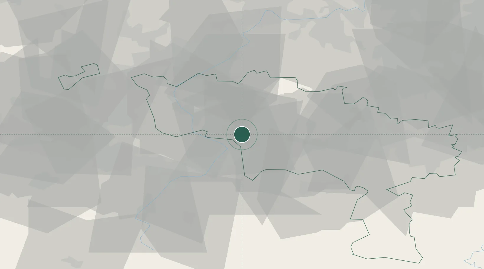
Place type
Populated place
Region
Wallonia
Population
4,258
Time zone
Europe/Brussels
Elevation
40 m
Location
Nearby Logistics Neighbours
Cities
- 1Harchies3 km
- 2Stambruges5 km
- 3Ramegnies6 km
- 4Roucourt6 km
- 5Pommeroeul7 km
Ports
- 1Ghent63 km
- 2Bruxelles64 km
- 3Bruges87 km
- 4Nieuwpoort95 km
- 5Terneuzen95 km
Airports
DatabookThe Record of Consolidated Knowledge
Belgium beyond logistics?