Transport Functions
Rail
Road
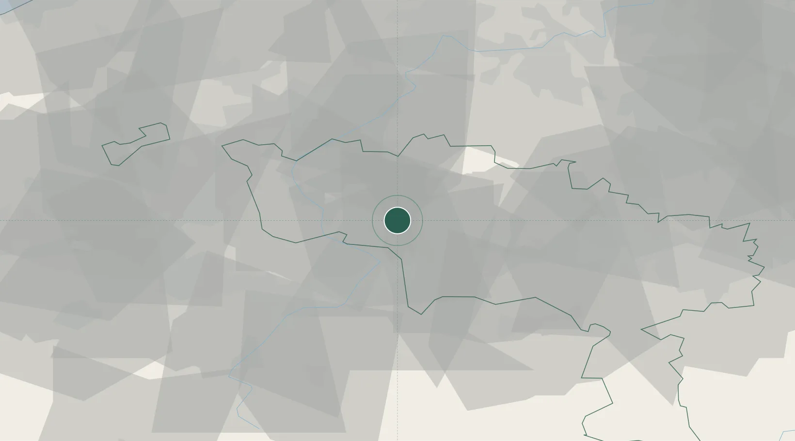
Hub Profile
Place type
Populated place
Region
Wallonia
Population
143
Time zone
Europe/Brussels
Elevation
56 m
Location
Nearby Logistics Neighbours
Cities
- 1Roucourt4 km
- 2Blaton6 km
- 3Beloeil6 km
- 4Stambruges8 km
- 5Harchies8 km
Ports
- 1Ghent58 km
- 2Bruxelles62 km
- 3Bruges81 km
- 4Nieuwpoort90 km
- 5Terneuzen90 km
Airports
Trade Zones
DatabookThe Record of Consolidated Knowledge
Belgium beyond logistics?