UN/LOCODE hub · Belgium
BEBLC
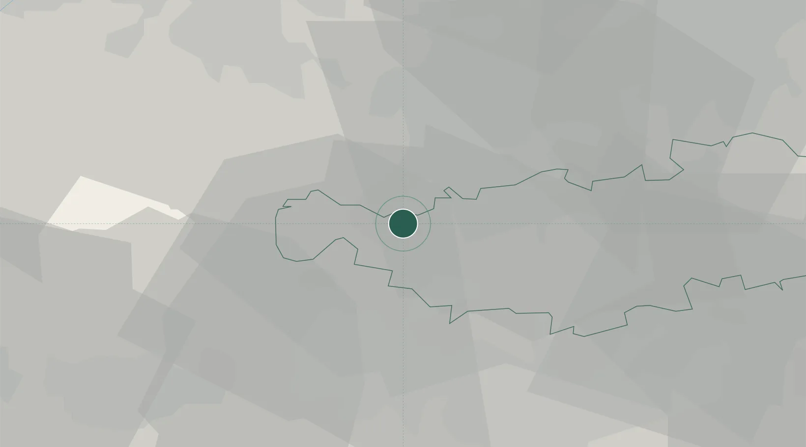
Braine-le-Château
50.6833°, 4.2667°
9,627
Population
2
Transport functions
Transport Functions
Rail
Road
Hub Profile
Place type
Populated place
Region
Wallonia
Population
9,627
Time zone
Europe/Brussels
Elevation
78 m
Location
Nearby Logistics Neighbours
Cities
- 1Wauthier-Braine2 km
- 2Clabecq4 km
- 3Itter (Ittre)4 km
- 4Oisquercq4 km
- 5Tubize5 km
Airports
- 1Brussels South Charleroi Airport28 km
- 2Brussels Airport29 km
- 3Chièvres Air Base33 km
- 4Beauvechain Air Base36 km
- 5Florennes Air Base56 km
Trade Zones
DatabookThe Record of Consolidated Knowledge
Belgium beyond logistics?