Transport Functions
Rail
Road
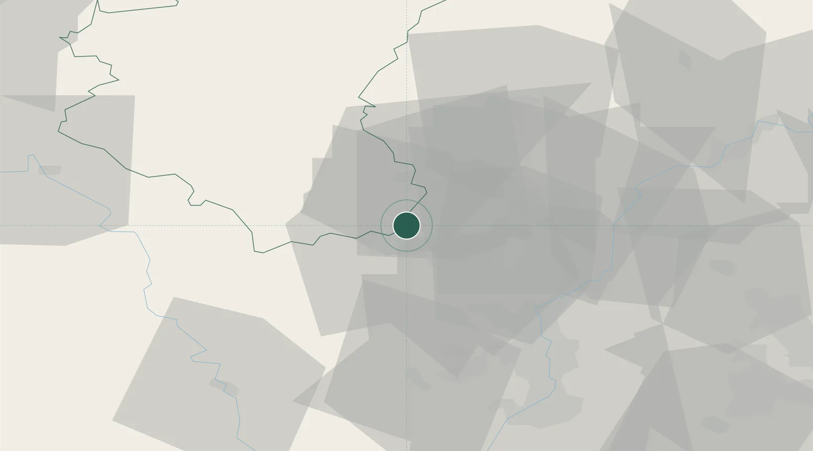
Hub Profile
Place type
Populated place
Region
Wallonia
Population
8,028
Time zone
Europe/Brussels
Elevation
281 m
Logistics facilities
1
Location
Nearby Logistics Neighbours
Cities
- 1Pétange4 km
- 2Niederkorn5 km
- 3Mont-Saint-Martin5 km
- 4Longwy7 km
- 5Ehlerange10 km
Airports
Trade Zones
- 1Luxembourg Free Port29 km
- 2ZFU Woippy-Metz51 km
- 3ZFU Metz56 km
- 4ZFU Ronde Couture83 km
- 5ZFU La Cité Behren-lès-Forbach91 km
DatabookThe Record of Consolidated Knowledge
Belgium beyond logistics?