Transport Functions
Rail
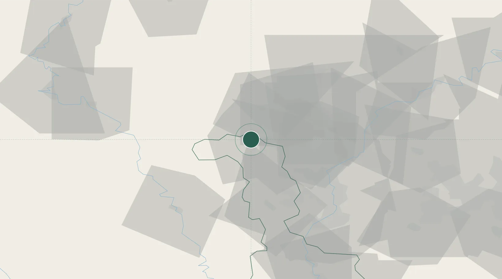
Hub Profile
Place type
Populated place
Region
Grand Est
Population
14,695
Time zone
Europe/Paris
Elevation
377 m
Location
Nearby Logistics Neighbours
Cities
- 1Mont-Saint-Martin2 km
- 2Athus7 km
- 3Niederkorn9 km
- 4Pétange9 km
- 5Ehlerange13 km
Airports
Trade Zones
- 1Luxembourg Free Port36 km
- 2ZFU Woippy-Metz49 km
- 3ZFU Metz54 km
- 4ZFU Ronde Couture80 km
- 5ZFU La Cité Behren-lès-Forbach93 km
DatabookThe Record of Consolidated Knowledge
France beyond logistics?