UN/LOCODE hub · France
FRMSM
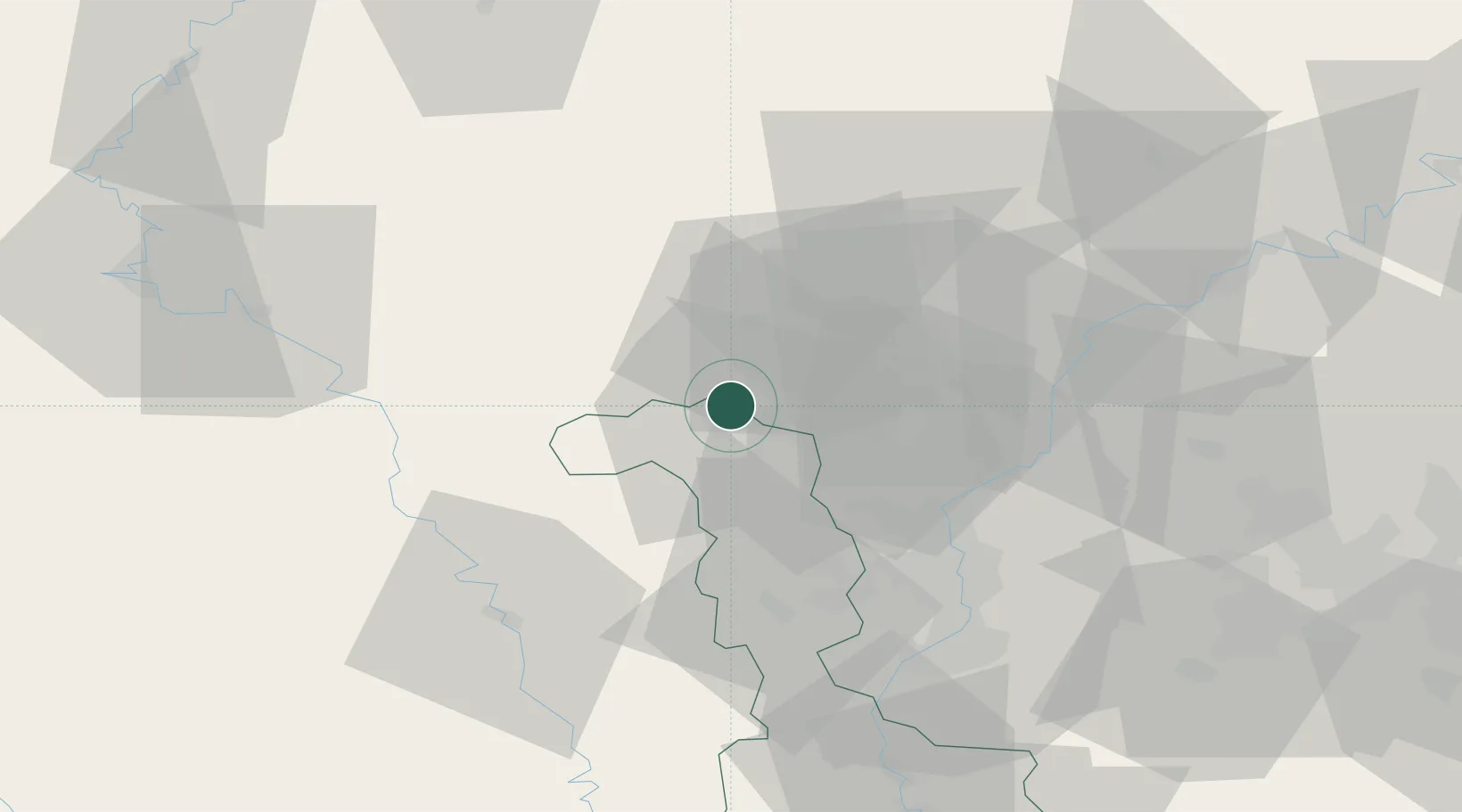
Mont-Saint-Martin
49.5333°, 5.7833°
8,509
Population
1
Transport functions
Transport Functions
Rail
Hub Profile
Place type
Populated place
Region
Grand Est
Population
8,509
Time zone
Europe/Paris
Elevation
292 m
Location
Nearby Logistics Neighbours
Cities
- 1Longwy2 km
- 2Athus5 km
- 3Niederkorn7 km
- 4Pétange7 km
- 5Ehlerange12 km
Airports
Trade Zones
- 1Luxembourg Free Port34 km
- 2ZFU Woippy-Metz50 km
- 3ZFU Metz55 km
- 4ZFU Ronde Couture80 km
- 5ZFU La Cité Behren-lès-Forbach92 km
DatabookThe Record of Consolidated Knowledge
France beyond logistics?