UN/LOCODE hub · Luxembourg
LUNDC

Niederkorn

49.5333°, 5.8833°
2
Transport functions

Transport Functions

Rail
Road
UN/LOCODE

Location

Location of LUNDC
Natural Earth 10m (public domain) · Luxembourg · LUNDC · 49.53, 5.88GoogleOSMYandex

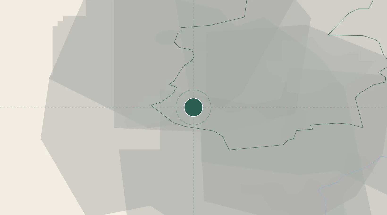
Nearby Logistics Neighbours

Cities
  1. 1Pétange2 km
  2. 2Athus5 km
  3. 3Ehlerange5 km
  4. 4Mont-Saint-Martin7 km
  5. 5Bettange-sur-Mess8 km
Nearest neighbours — logibook spatial index (haversine) over the source coordinates
Ports
  1. 1Bruxelles184 km
  2. 2Antwerpen215 km
  3. 3Ghent229 km
  4. 4Terneuzen249 km
  5. 5Hansweert251 km
Nearest neighbours — logibook spatial index (haversine) over the source coordinates
Airports
  1. 1Luxembourg-Findel International Airport26 km
  2. 2Lieutenant Étienne Mantoux Air Base37 km
  3. 3Verdun-Le Rozelier Airfield55 km
  4. 4Metz-Nancy-Lorraine Airport67 km
  5. 5Spangdahlem Air Base77 km
Nearest neighbours — logibook spatial index (haversine) over the source coordinates
Trade Zones
  1. 1Luxembourg Free Port27 km
  2. 2ZFU Woippy-Metz47 km
  3. 3ZFU Metz52 km
  4. 4ZFU La Cité Behren-lès-Forbach86 km
  5. 5ZFU Ronde Couture87 km
Nearest neighbours — logibook spatial index (haversine) over the source coordinates
DatabookThe Record of Consolidated Knowledge
Luxembourg beyond logistics?
Browse databook

All Sources

LocationsUN/LOCODE
UN/LOCODE — free
Portsthe NGA World Port Index
Public domain (US gov)
AirportsOurAirports
Public domain
Trade Zonesthe World Bank SEZ database
CC BY 4.0
Trade ZonesOpen Zone Map
CC BY
← Luxembourg locations