Transport Functions
Rail
Road
Hub Profile
Place type
District seat
Region
Esch-sur-Alzette
Population
7,187
Time zone
Europe/Luxembourg
Elevation
278 m
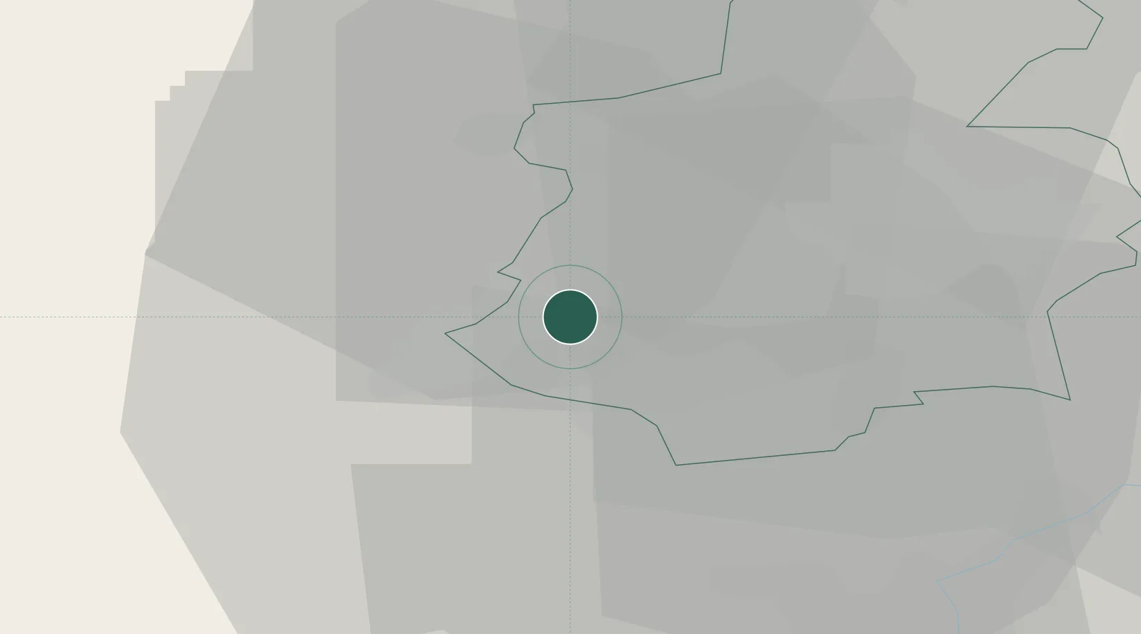
Location
Nearby Logistics Neighbours
Cities
- 1Niederkorn2 km
- 2Athus4 km
- 3Ehlerange6 km
- 4Bettange-sur-Mess7 km
- 5Mont-Saint-Martin7 km
Airports
Trade Zones
- 1Luxembourg Free Port26 km
- 2ZFU Woippy-Metz48 km
- 3ZFU Metz53 km
- 4ZFU Ronde Couture87 km
- 5ZFU La Cité Behren-lès-Forbach87 km
DatabookThe Record of Consolidated Knowledge
Luxembourg beyond logistics?