UN/LOCODE hub · Bosnia & Herzegovina
BABBR

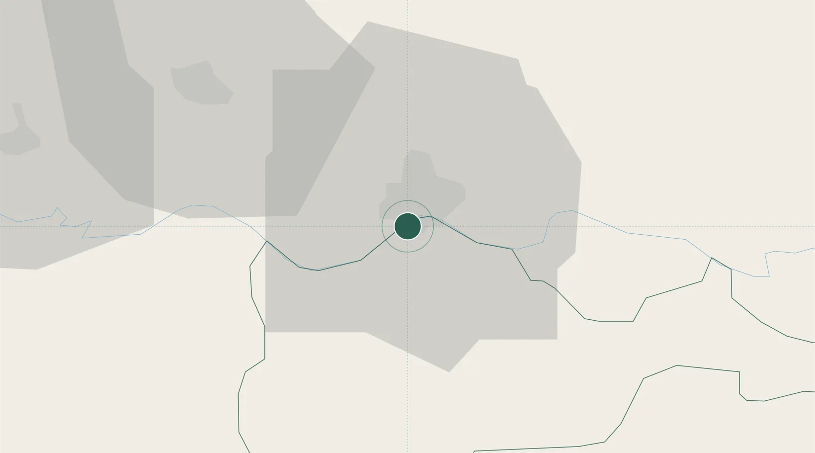
Bosanski Brod (Srpski Brod)

45.1333°, 17.9833°
2
Transport functions

Transport Functions

Rail
Road
UN/LOCODE

Hub Profile

Region
SRP
GeoNames

Location

Location of BABBR
Natural Earth 10m (public domain) · SRP · BABBR · 45.13, 17.98GoogleOSMYandex

Nearby Logistics Neighbours

Cities
  1. 1Slavonski Brod6 km
  2. 2Trnjani13 km
  3. 3Brodski Stupnik15 km
  4. 4Oriovac18 km
  5. 5Modrica31 km
Nearest neighbours — logibook spatial index (haversine) over the source coordinates
Ports
  1. 1Dugi Rat215 km
  2. 2Split220 km
  3. 3Sibenik228 km
  4. 4Ploce236 km
  5. 5Senj243 km
Nearest neighbours — logibook spatial index (haversine) over the source coordinates
Airports
  1. 1Banja Luka International Airport58 km
  2. 2Osijek Airport74 km
  3. 3Tuzla International Airport95 km
  4. 4Pécs-Pogány International Airport97 km
  5. 5Taszár Air Base140 km
Nearest neighbours — logibook spatial index (haversine) over the source coordinates
Trade Zones
  1. 1Duro Daković Free Zone5 km
  2. 2Osijek Free Zone42 km
  3. 3Free Zone Holc, Lukavac78 km
  4. 4Podunavska Gospodarska Zona Vukovar83 km
  5. 5Apatin Free Zone98 km
Nearest neighbours — logibook spatial index (haversine) over the source coordinates
DatabookThe Record of Consolidated Knowledge
Bosnia & Herzegovina beyond logistics?
Browse databook

All Sources

LocationsUN/LOCODE
UN/LOCODE — free
Portsthe NGA World Port Index
Public domain (US gov)
AirportsOurAirports
Public domain
Trade Zonesthe World Bank SEZ database
CC BY 4.0
Trade ZonesOpen Zone Map
CC BY
← Bosnia & Herzegovina locations