UN/LOCODE hub · Croatia
HRSBD
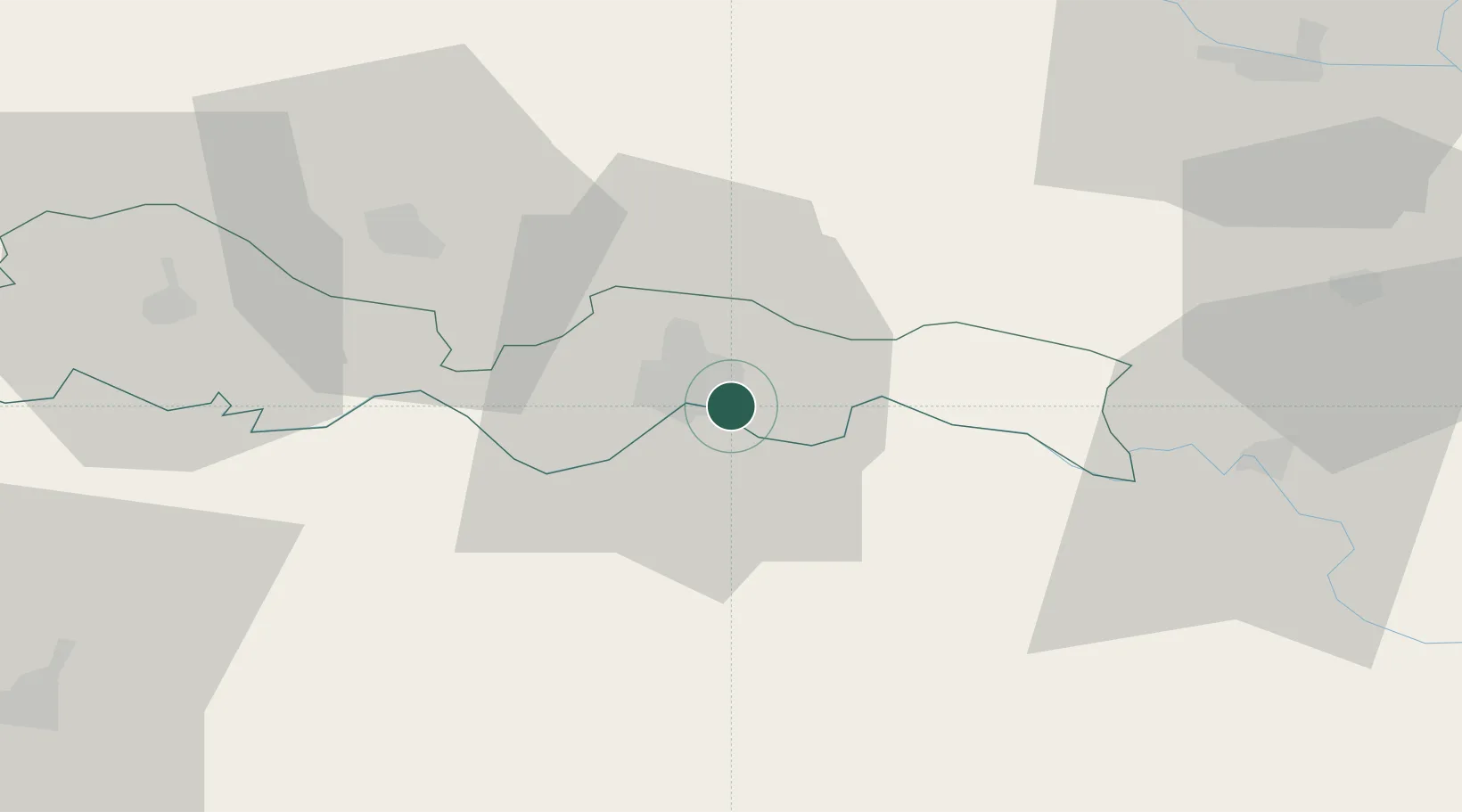
Slavonski Brod
45.1452°, 18.0572°
45,005
Population
3
Transport functions
Transport Functions
Port
Rail
Road
Hub Profile
Place type
Regional capital
Region
Brod-Posavina
Population
45,005
Time zone
Europe/Zagreb
Elevation
83 m
Logistics facilities
1
Location
Nearby Logistics Neighbours
Cities
- 1Bosanski Brod (Srpski Brod)6 km
- 2Trnjani7 km
- 3Brodski Stupnik20 km
- 4Oriovac24 km
- 5Velika Kopanica26 km
Airports
- 1Banja Luka International Airport64 km
- 2Osijek Airport69 km
- 3Tuzla International Airport93 km
- 4Pécs-Pogány International Airport95 km
- 5Taszár Air Base139 km
Trade Zones
- 1Duro Daković Free Zone5 km
- 2Osijek Free Zone37 km
- 3Free Zone Holc, Lukavac76 km
- 4Podunavska Gospodarska Zona Vukovar77 km
- 5Apatin Free Zone93 km
DatabookThe Record of Consolidated Knowledge
Croatia beyond logistics?