Transport Functions
Road
Multimodal
Hub Profile
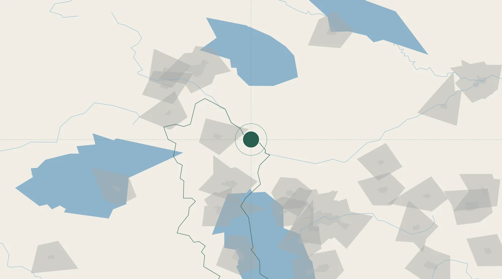
Place type
Regional capital
Region
Nakhchivan
Population
97,200
Time zone
Asia/Baku
Elevation
887 m
Location
Nearby Logistics Neighbours
Cities
- 1Jolfa49 km
- 2Kajaran79 km
- 3Ararat85 km
- 4Goris100 km
- 5Dogubayazit106 km
Ports
- 1Batumi408 km
- 2Hopa408 km
- 3Supsa Marine Terminal438 km
- 4Rize451 km
- 5Trabzon507 km
Airports
- 1Nakhchivan International Airport19 km
- 2Maku National Airport26 km
- 3Erebuni Airport122 km
- 4Zvartnots International Airport128 km
- 5Iğdır Airport145 km
Trade Zones
DatabookThe Record of Consolidated Knowledge
Azerbaijan beyond logistics?