Transport Functions
Multimodal
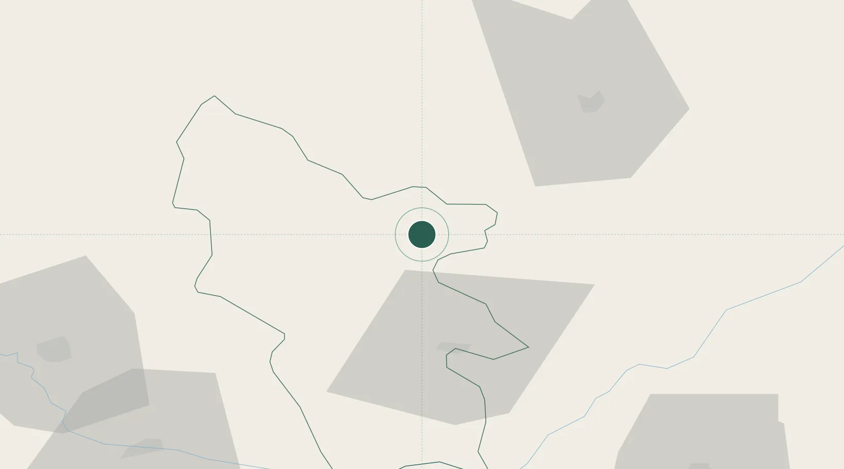
Hub Profile
Place type
Provincial seat
Region
Syunik
Population
17,483
Time zone
Asia/Yerevan
Elevation
1,351 m
Location
Nearby Logistics Neighbours
Ports
- 1Batumi462 km
- 2Hopa469 km
- 3Supsa Marine Terminal484 km
- 4Rize523 km
- 5Trabzon582 km
Airports
- 1Khojaly Airport59 km
- 2Nakhchivan International Airport83 km
- 3Maku National Airport126 km
- 4Parsabad-Moghan Airport133 km
- 5Ganja International Airport138 km
Trade Zones
DatabookThe Record of Consolidated Knowledge
Armenia beyond logistics?