Free Trade Zone · Armenia

Meghri Free Economic Zone Active
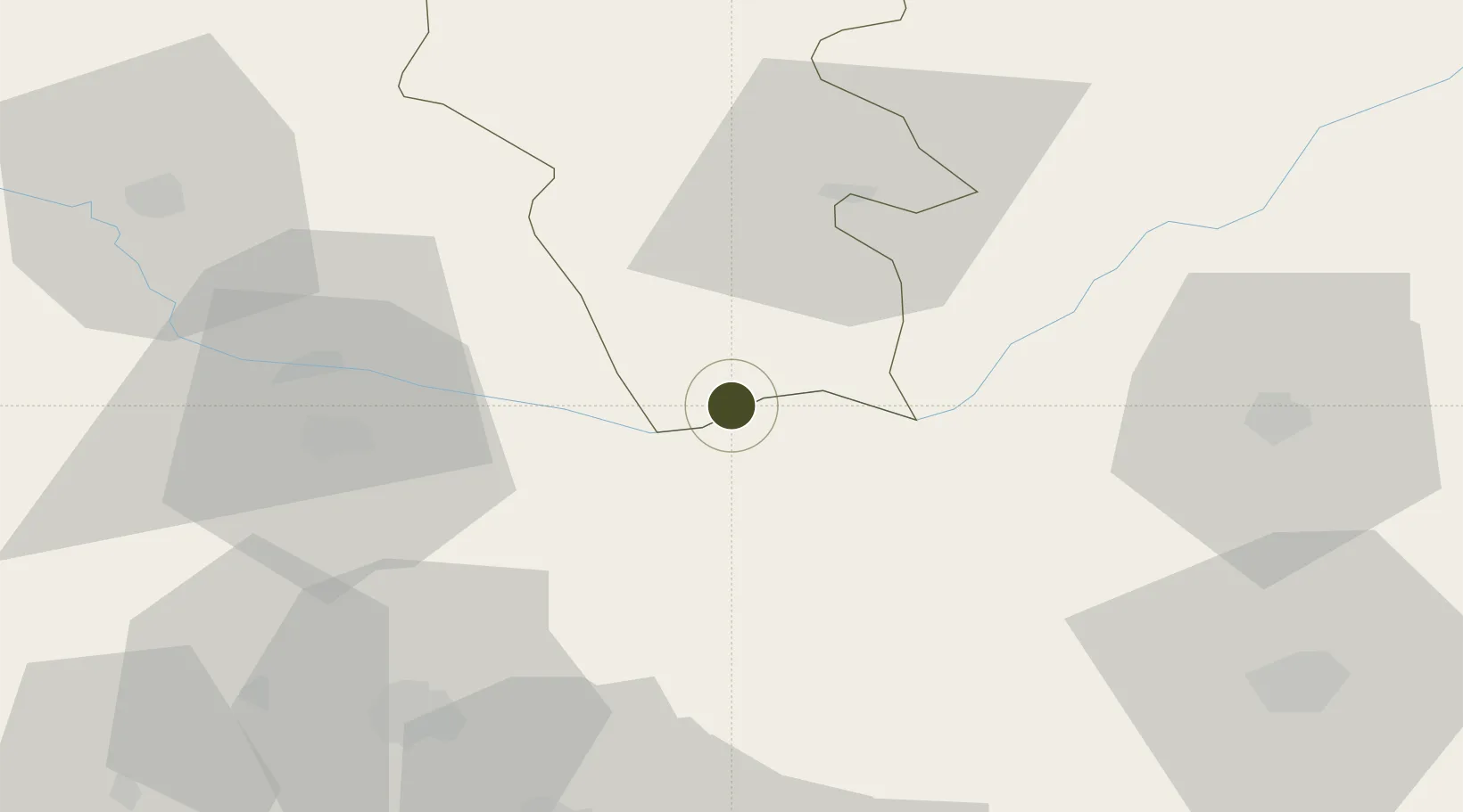
38.9029°, 46.2446°
70 ha
Zone area
495.1 km
Nearest port
75.0 km
Nearest airport

Gateway access

Nearest neighbours — logibook spatial index (haversine) over the source coordinates

Zone profile

Zone type
Free Trade Zone
Open Zone Map
Region
Syunik
Open Zone Map
Status
Active
Open Zone Map
Management
Public-Private Partnership
Open Zone Map
Operator
Meghri Free Economic Zone CJSC
Open Zone Map
Legal framework
Law Of The Republic of Armenia On Free Economic Zones: Adopted on May 25, 2011
Open Zone Map

Location

Location of ozm-52
Natural Earth 10m (public domain) · Syunik · ozm-52 · 38.90, 46.24GoogleOSMYandex

Nearby Logistics Neighbours

Ports
  1. 1Batumi495 km
  2. 2Hopa498 km
  3. 3Supsa Marine Terminal522 km
  4. 4Rize544 km
  5. 5Trabzon600 km
Nearest neighbours — logibook spatial index (haversine) over the source coordinates
Airports
  1. 1Nakhchivan International Airport75 km
  2. 2Tabriz International Airport86 km
  3. 3Maku National Airport118 km
  4. 4Khojaly Airport120 km
  5. 5Parsabad-Moghan Airport161 km
Nearest neighbours — logibook spatial index (haversine) over the source coordinates
Cities
  1. 1Kajaran29 km
  2. 2Jolfa50 km
  3. 3Goris67 km
  4. 4Naxcivan93 km
  5. 5Khosrowshahr109 km
Nearest neighbours — logibook spatial index (haversine) over the source coordinates
Trade Zones
  1. 1Aras Trade Industrial Free Zone53 km
  2. 2Sahlan Special Economic Zone82 km
  3. 3Salmas Special Economic Zone153 km
  4. 4Maku Mako Trade-Industrial Free Zone168 km
  5. 5Namin Special Economic Zone200 km
Nearest neighbours — logibook spatial index (haversine) over the source coordinates
DatabookThe Record of Consolidated Knowledge
Armenia beyond logistics?
Browse databook

All Sources

Trade ZonesOpen Zone Map
CC BY
Portsthe NGA World Port Index
Public domain (US gov)
AirportsOurAirports
Public domain
LocationsUN/LOCODE
UN/LOCODE — free
← Armenia trade zones