Transport Functions
Rail
Road
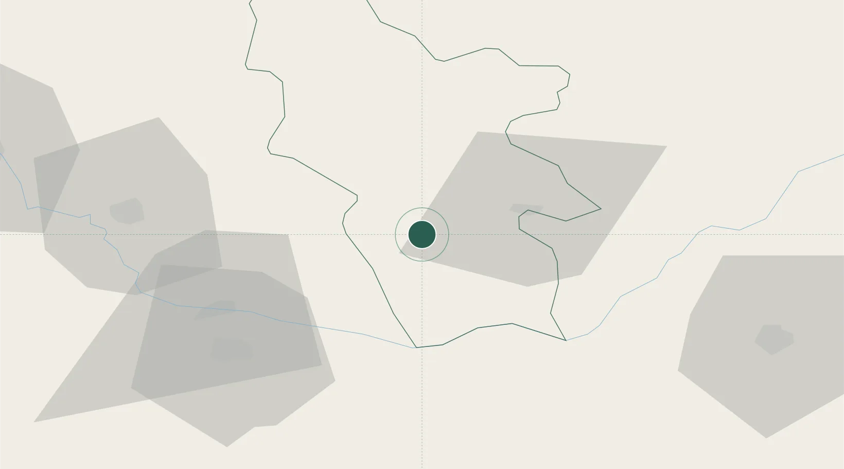
Hub Profile
Place type
Provincial seat
Region
Syunik
Population
6,535
Time zone
Asia/Yerevan
Elevation
1,810 m
Location
Nearby Logistics Neighbours
Cities
- 1Goris42 km
- 2Jolfa49 km
- 3Naxcivan79 km
- 4Khosrowshahr136 km
- 5Ararat147 km
Ports
- 1Batumi472 km
- 2Hopa475 km
- 3Supsa Marine Terminal498 km
- 4Rize524 km
- 5Trabzon581 km
Airports
- 1Nakhchivan International Airport60 km
- 2Khojaly Airport100 km
- 3Maku National Airport105 km
- 4Tabriz International Airport113 km
- 5Parsabad-Moghan Airport157 km
Trade Zones
DatabookThe Record of Consolidated Knowledge
Armenia beyond logistics?