Transport Functions
Rail
Road
Border Crossing
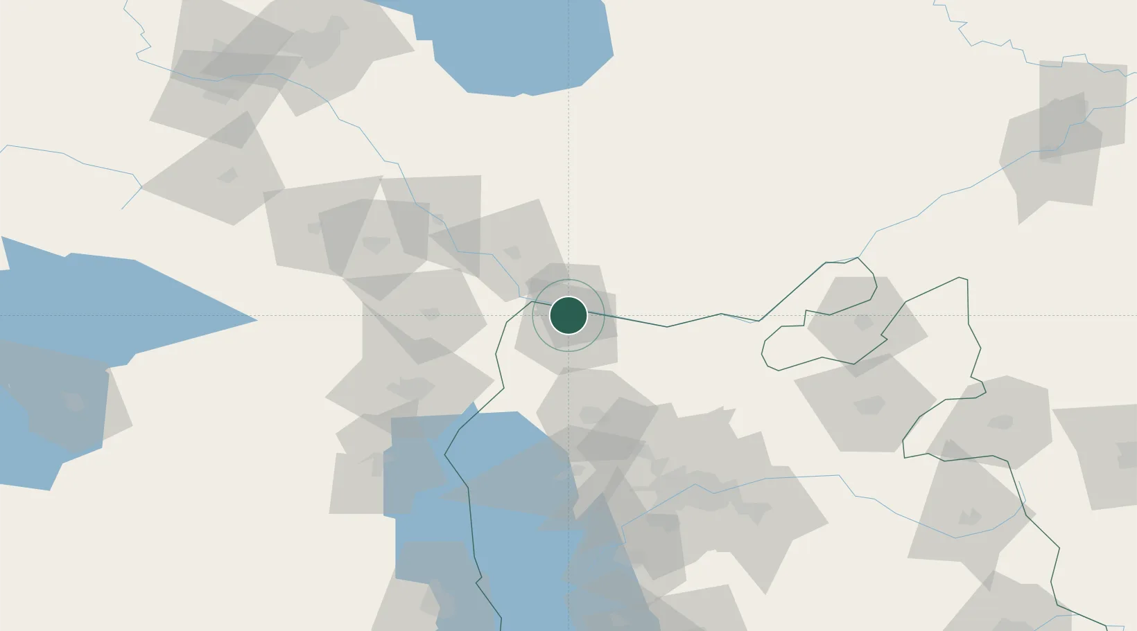
Hub Profile
Place type
Populated place
Region
Isfahan
Time zone
Asia/Tehran
Elevation
1,581 m
Location
Nearby Logistics Neighbours
Cities
- 1Naxcivan49 km
- 2Kajaran49 km
- 3Goris87 km
- 4Khosrowshahr115 km
- 5Kapiköy127 km
Ports
- 1Batumi457 km
- 2Hopa457 km
- 3Supsa Marine Terminal487 km
- 4Rize500 km
- 5Trabzon554 km
Airports
- 1Nakhchivan International Airport35 km
- 2Maku National Airport71 km
- 3Tabriz International Airport100 km
- 4Khojaly Airport146 km
- 5Urmia Airport148 km
Trade Zones
DatabookThe Record of Consolidated Knowledge
Iran beyond logistics?