Large airport · Azerbaijan

Nakhchivan International AirportUBBN
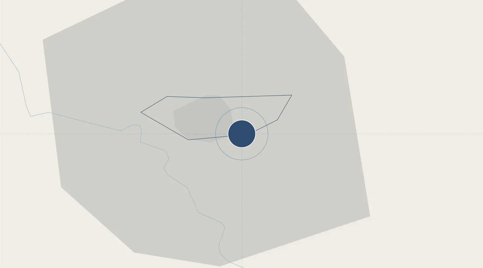
39.1888°, 45.4584°
10,826 ft
Longest runway
2
Runways
2,863 ft
Elevation

Runway & Layout

Nakhchivan International Airport runway & taxiway layout
Runway & taxiway layout — OpenStreetMap (ODbL) / OurAirports

Radio Frequencies

ATIS
127.5 MHz
TWR
118.2 MHz
A/D
127.9 MHz
APP
OurAirports

Runways · 2

RunwayDimensions SurfaceTrue headingLit
14L/32R 10,826 × 148ft Asphalt 137°
14R/32L 10,826 × 148ft Concrete 137°
OurAirports

Airport Specifications

IATA code
NAJ
OurAirports
ICAO code
UBBN
OurAirports
Airport class
Large airport
OurAirports
Scheduled service
Yes
OurAirports
Runway surface
Asphalt
OurAirports
Served city
Nakhchivan
OurAirports

Location

Location of UBBN
Natural Earth 10m (public domain) · Naxçıvan · UBBN · 39.19, 45.46GoogleOSMYandex

Nearby Logistics Neighbours

Airports
  1. 1Maku National Airport46 km
  2. 2Erebuni Airport134 km
  3. 3Tabriz International Airport135 km
  4. 4Khojaly Airport139 km
  5. 5Zvartnots International Airport140 km
Nearest neighbours — logibook spatial index (haversine) over the source coordinates
Cities
  1. 1Naxcivan19 km
  2. 2Jolfa35 km
  3. 3Kajaran60 km
  4. 4Goris83 km
  5. 5Ararat98 km
Nearest neighbours — logibook spatial index (haversine) over the source coordinates
Ports
  1. 1Batumi423 km
  2. 2Hopa424 km
  3. 3Supsa Marine Terminal452 km
  4. 4Rize469 km
  5. 5Trabzon525 km
Nearest neighbours — logibook spatial index (haversine) over the source coordinates
Trade Zones
  1. 1Aras Trade Industrial Free Zone32 km
  2. 2Meghri Free Economic Zone75 km
  3. 3Maku Mako Trade-Industrial Free Zone94 km
  4. 4Salmas Special Economic Zone127 km
  5. 5Sahlan Special Economic Zone127 km
Nearest neighbours — logibook spatial index (haversine) over the source coordinates
DatabookThe Record of Consolidated Knowledge
Azerbaijan beyond logistics?
Browse databook

All Sources

AirportsOurAirports
Public domain
Portsthe NGA World Port Index
Public domain (US gov)
LocationsUN/LOCODE
UN/LOCODE — free
Trade Zonesthe World Bank SEZ database
CC BY 4.0
Trade ZonesOpen Zone Map
CC BY
InfrastructureOpenStreetMap
ODbL 1.0
← Azerbaijan airports