Diversified Zone · Iran

Aras Trade Industrial Free Zone Active
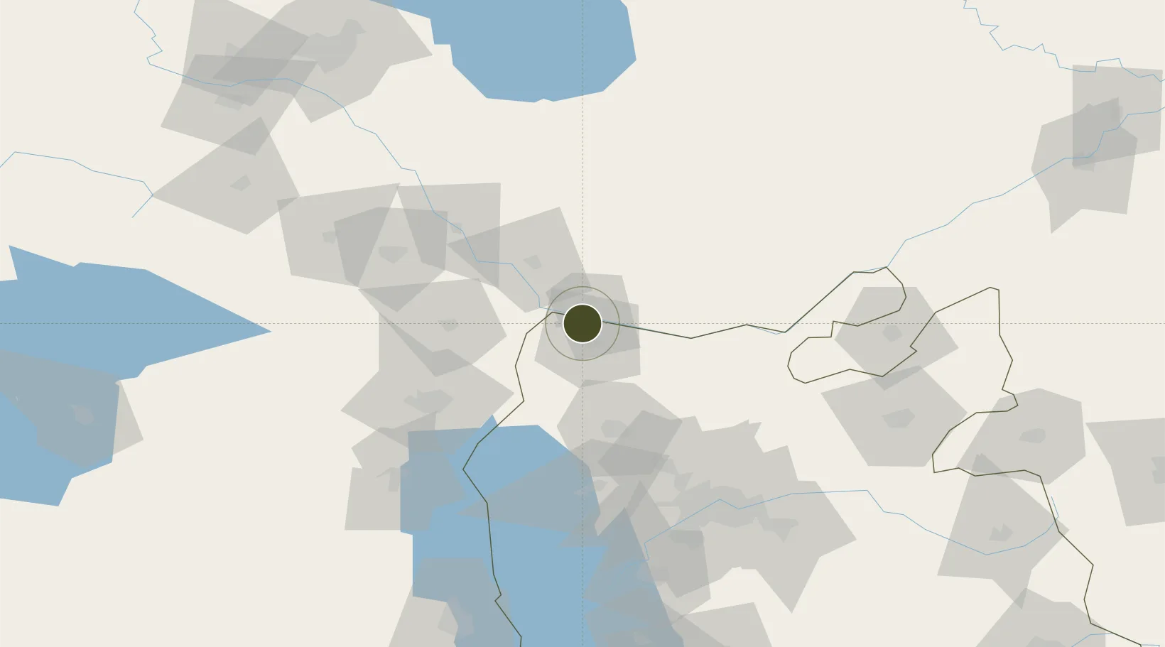
38.9303°, 45.6326°
9,700 ha
Zone area
453.3 km
Nearest port
32.4 km
Nearest airport

Gateway access

Nearest neighbours — logibook spatial index (haversine) over the source coordinates

Zone profile

Zone type
Diversified Zone
Open Zone Map
Region
East Azarbaijan
Open Zone Map
Status
Active
Open Zone Map
Management
Public
Open Zone Map
Operator
Aras Free Trade-Industrial Zone Organization
Open Zone Map
Legal framework
Law on the Administration of Free Trade-Industrial Zones of the Islamic Republic of Iran
Open Zone Map

Location

Location of ozm-2504
Natural Earth 10m (public domain) · East Azarbaijan · ozm-2504 · 38.93, 45.63GoogleOSMYandex

Nearby Logistics Neighbours

Ports
  1. 1Batumi453 km
  2. 2Hopa454 km
  3. 3Supsa Marine Terminal483 km
  4. 4Rize496 km
  5. 5Trabzon551 km
Nearest neighbours — logibook spatial index (haversine) over the source coordinates
Airports
  1. 1Nakhchivan International Airport32 km
  2. 2Maku National Airport67 km
  3. 3Tabriz International Airport103 km
  4. 4Khojaly Airport147 km
  5. 5Urmia Airport149 km
Nearest neighbours — logibook spatial index (haversine) over the source coordinates
Cities
  1. 1Jolfa3 km
  2. 2Naxcivan46 km
  3. 3Kajaran51 km
  4. 4Goris88 km
  5. 5Khosrowshahr117 km
Nearest neighbours — logibook spatial index (haversine) over the source coordinates
Trade Zones
  1. 1Meghri Free Economic Zone53 km
  2. 2Sahlan Special Economic Zone94 km
  3. 3Salmas Special Economic Zone113 km
  4. 4Maku Mako Trade-Industrial Free Zone118 km
  5. 5Jrvezh Engineering City168 km
Nearest neighbours — logibook spatial index (haversine) over the source coordinates
DatabookThe Record of Consolidated Knowledge
Iran beyond logistics?
Browse databook

All Sources

Trade ZonesOpen Zone Map
CC BY
Portsthe NGA World Port Index
Public domain (US gov)
AirportsOurAirports
Public domain
LocationsUN/LOCODE
UN/LOCODE — free
← Iran trade zones