Transport Functions
Rail
Road
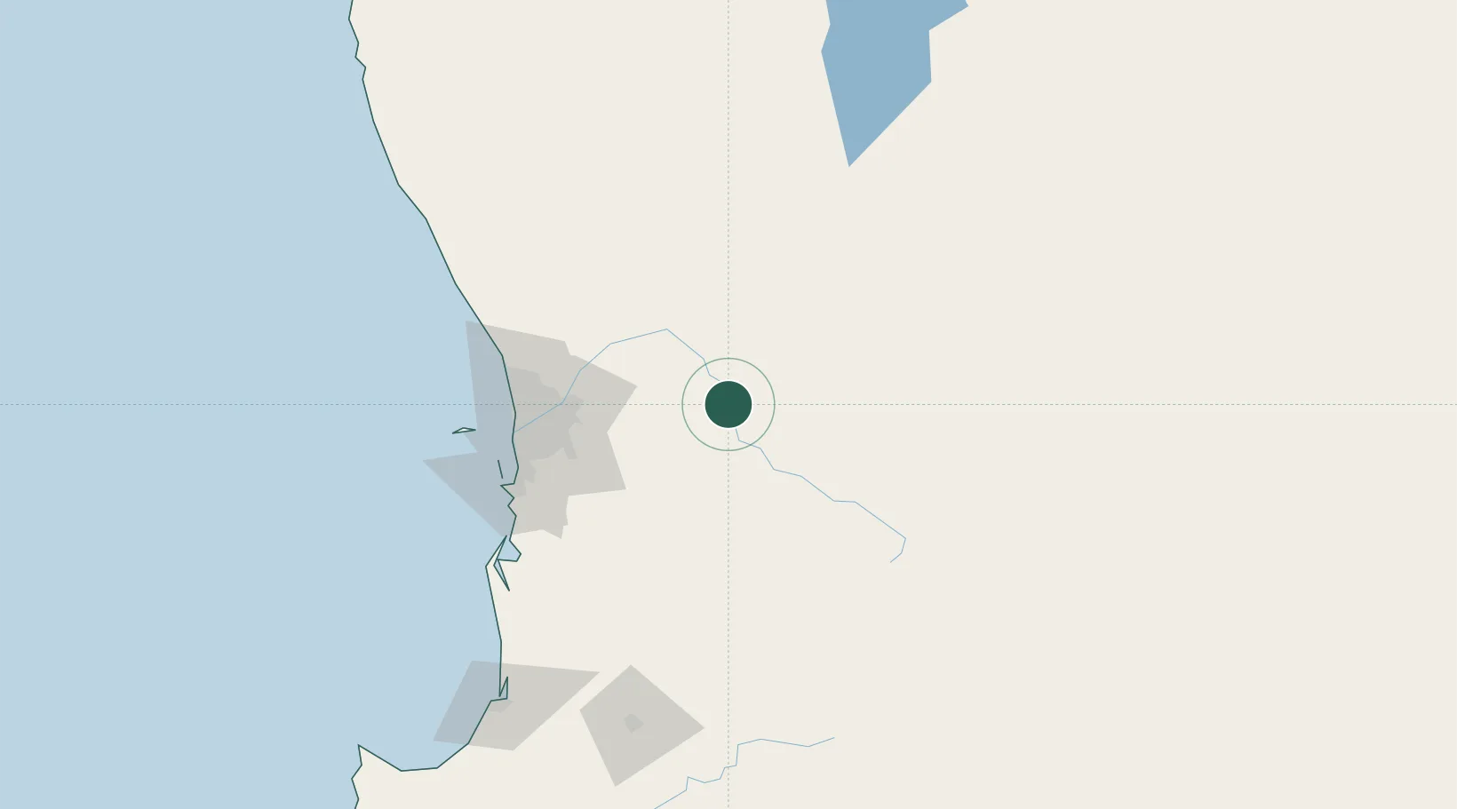
Hub Profile
Place type
Populated place
Region
Western Australia
Population
2,472
Time zone
Australia/Perth
Elevation
179 m
Location
Nearby Logistics Neighbours
Airports
- 1RAAF Base Pearce75 km
- 2Perth International Airport76 km
- 3Perth Jandakot Airport87 km
- 4Busselton Margaret River Regional Airport238 km
- 5Karara Airport297 km
Trade Zones
- 1KEK Mandalika2557 km
- 2Oecusse Ambeno Enclave Special Zone For Social Market Economy (Zeesm)2625 km
- 3KEK Singhasari2703 km
- 4Pasuruan Industrial Estate Rembang2730 km
- 5Ngoro Industrial Park2738 km
DatabookThe Record of Consolidated Knowledge
Australia beyond logistics?