Small airport · Australia
Karara AirportYKAR
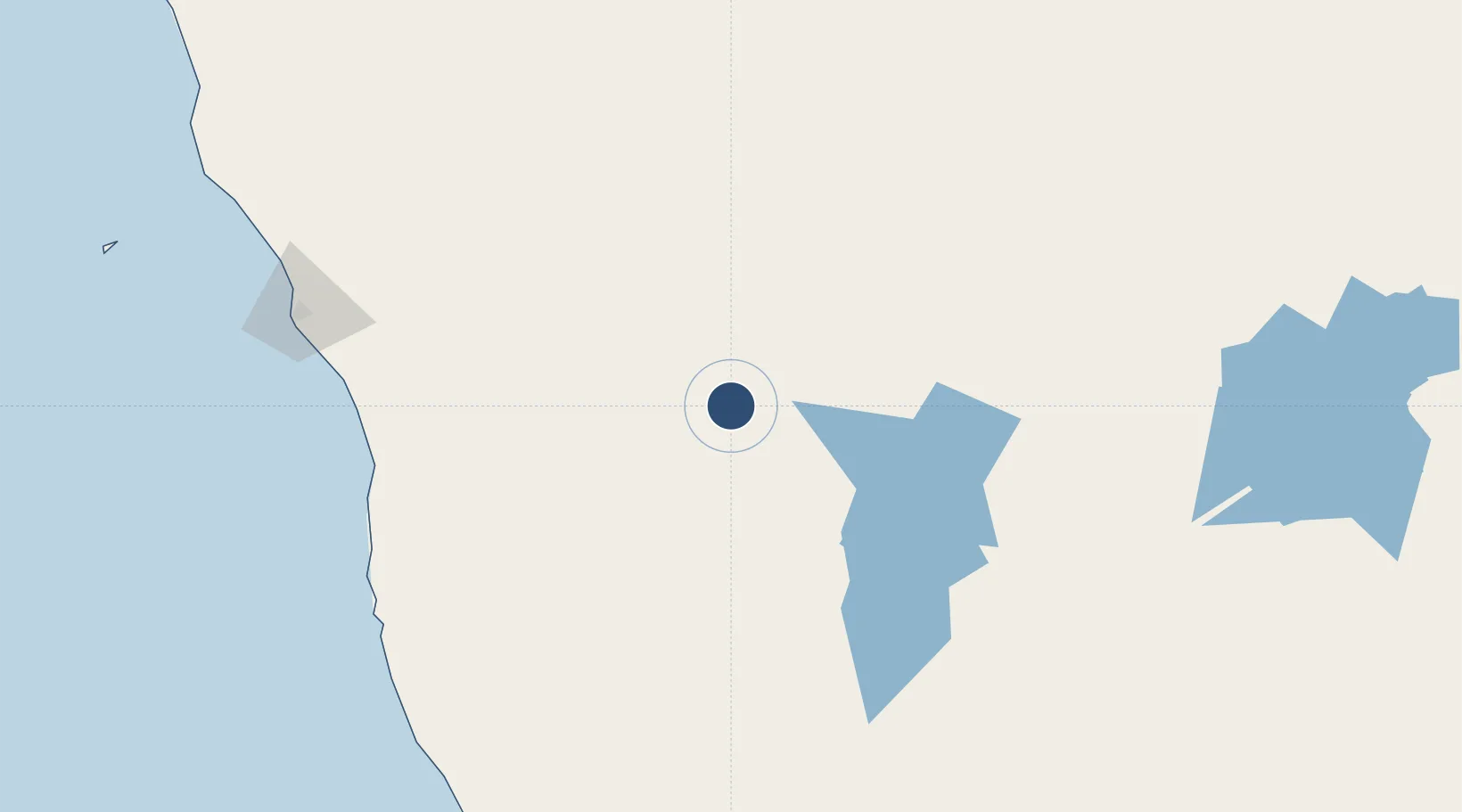
-29.2172°, 116.6872°
4,593 ft
Longest runway
1
Runways
1,011 ft
Elevation
Runway & Layout

Runways · 1
| Runway | Dimensions | Surface | True heading | Lit |
|---|---|---|---|---|
| 12/30 | 4,593 × —ft | Asphalt | — | — |
Airport Specifications
IATA code
KQR
ICAO code
YKAR
Airport class
Small airport
Scheduled service
Yes
Runway surface
Asphalt
Served city
Karara
Location
Nearby Logistics Neighbours
Airports
- 1Mount Magnet Airport166 km
- 2Geraldton Airport198 km
- 3RAAF Base Pearce280 km
- 4Kalbarri Airport292 km
- 5Perth International Airport311 km
Cities
- 1Melville115 km
- 2Pindar121 km
- 3Port Denison170 km
- 4Moora171 km
- 5Mount Magnet171 km
Ports
- 1Geraldton209 km
- 2Fremantle328 km
- 3Bunbury467 km
- 4Useless Loop476 km
- 5Cape Cuvier646 km
Trade Zones
- 1KEK Mandalika2260 km
- 2Oecusse Ambeno Enclave Special Zone For Social Market Economy (Zeesm)2349 km
- 3KEK Singhasari2410 km
- 4Pasuruan Industrial Estate Rembang2437 km
- 5Ngoro Industrial Park2445 km
DatabookThe Record of Consolidated Knowledge
Australia beyond logistics?