Transport Functions
Rail
Road
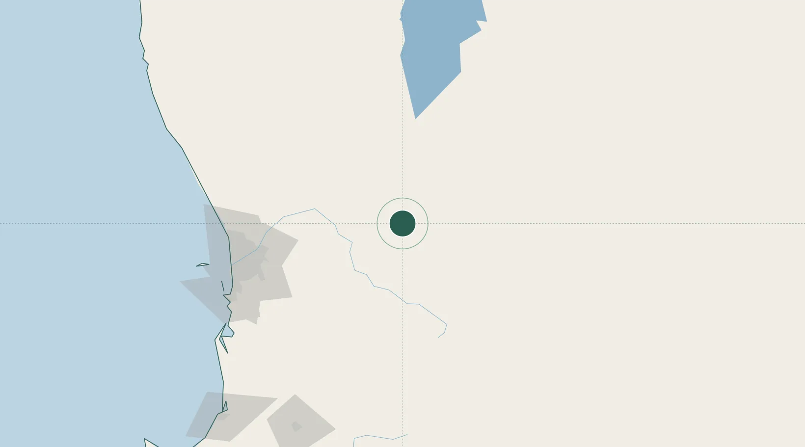
Hub Profile
Place type
Populated place
Region
Western Australia
Population
890
Time zone
Australia/Perth
Elevation
237 m
Location
Nearby Logistics Neighbours
Cities
- 1Quairading44 km
- 2Kellerberrin44 km
- 3York51 km
- 4Wyalkatchem53 km
- 5Northam54 km
Airports
- 1RAAF Base Pearce115 km
- 2Perth International Airport124 km
- 3Perth Jandakot Airport137 km
- 4Karara Airport276 km
- 5Busselton Margaret River Regional Airport284 km
Trade Zones
- 1KEK Mandalika2532 km
- 2Oecusse Ambeno Enclave Special Zone For Social Market Economy (Zeesm)2587 km
- 3KEK Singhasari2685 km
- 4Pasuruan Industrial Estate Rembang2712 km
- 5Ngoro Industrial Park2721 km
DatabookThe Record of Consolidated Knowledge
Australia beyond logistics?