Transport Functions
Rail
Road
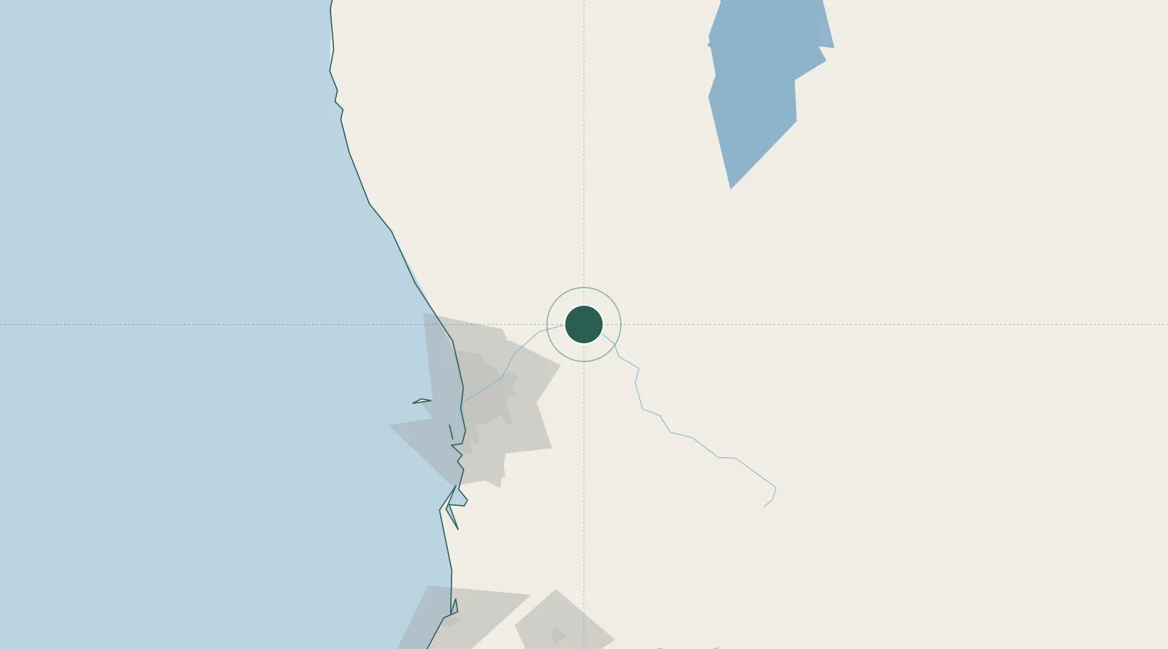
Hub Profile
Place type
Populated place
Region
Western Australia
Population
1,365
Time zone
Australia/Perth
Elevation
137 m
Location
Nearby Logistics Neighbours
Cities
- 1Northam22 km
- 2Chittering36 km
- 3Bullsbrook46 km
- 4York47 km
- 5Muchea48 km
Airports
- 1RAAF Base Pearce45 km
- 2Perth International Airport64 km
- 3Perth Jandakot Airport82 km
- 4Busselton Margaret River Regional Airport258 km
- 5Karara Airport260 km
Trade Zones
- 1KEK Mandalika2519 km
- 2Oecusse Ambeno Enclave Special Zone For Social Market Economy (Zeesm)2599 km
- 3KEK Singhasari2662 km
- 4Pasuruan Industrial Estate Rembang2689 km
- 5Ngoro Industrial Park2697 km
DatabookThe Record of Consolidated Knowledge
Australia beyond logistics?