Transport Functions
Multimodal
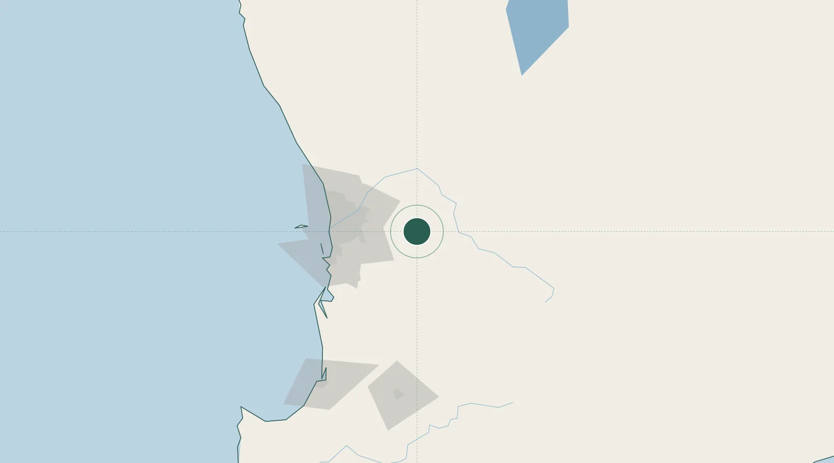
Hub Profile
Place type
Urban district
Region
Western Australia
Population
4,425
Time zone
Australia/Perth
Elevation
7 m
Location
Nearby Logistics Neighbours
Cities
- 1York34 km
- 2Darlington39 km
- 3Boya41 km
- 4Kelmscot43 km
- 5Forrestfield45 km
Airports
- 1Perth International Airport49 km
- 2Perth Jandakot Airport55 km
- 3RAAF Base Pearce60 km
- 4Busselton Margaret River Regional Airport208 km
- 5Karara Airport316 km
Trade Zones
- 1KEK Mandalika2575 km
- 2Oecusse Ambeno Enclave Special Zone For Social Market Economy (Zeesm)2652 km
- 3KEK Singhasari2716 km
- 4Pasuruan Industrial Estate Rembang2744 km
- 5Ngoro Industrial Park2752 km
DatabookThe Record of Consolidated Knowledge
Australia beyond logistics?