Transport Functions
Rail
Road
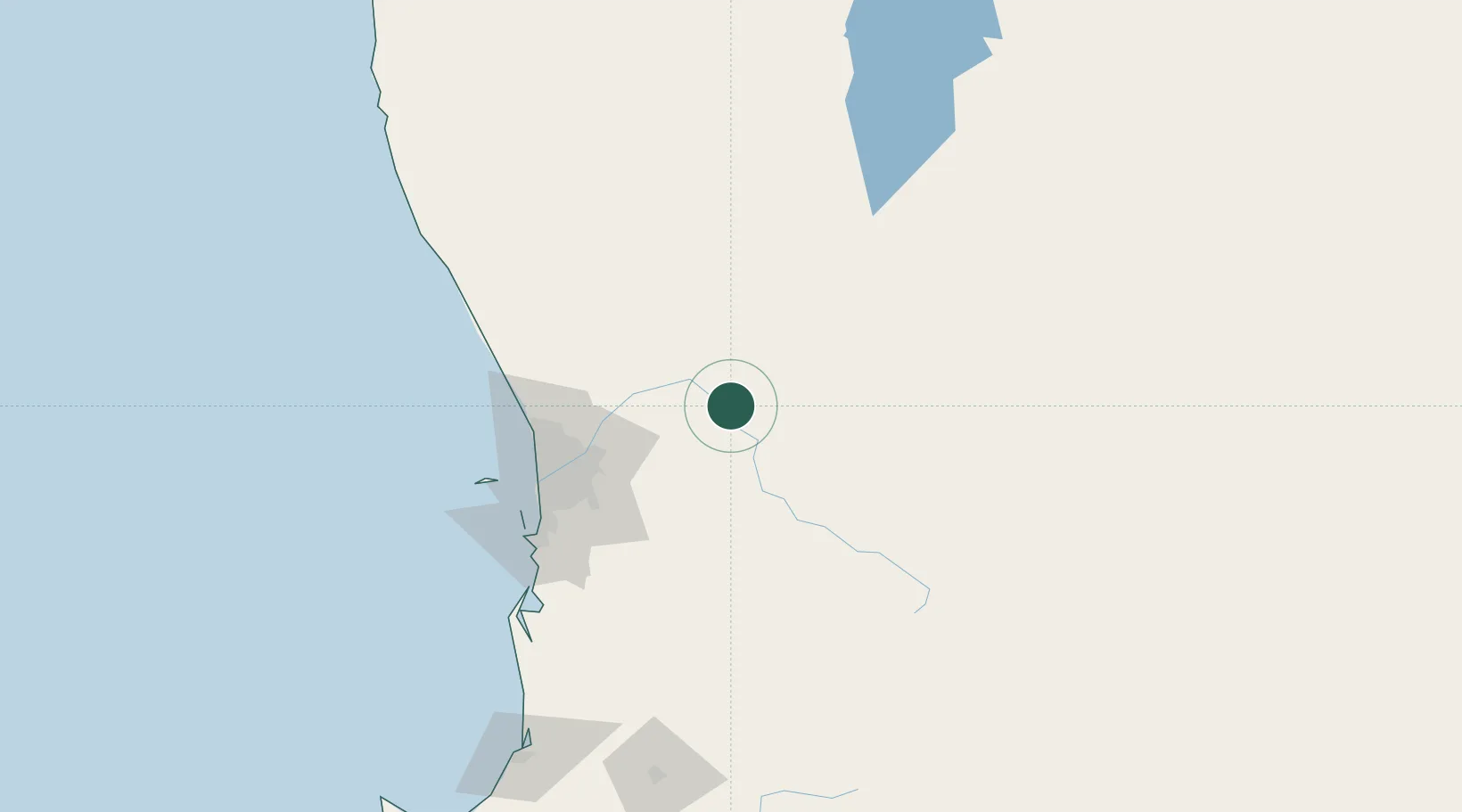
Hub Profile
Place type
Populated place
Region
Western Australia
Population
6,517
Time zone
Australia/Perth
Elevation
155 m
Location
Nearby Logistics Neighbours
Cities
- 1Toodyay22 km
- 2York28 km
- 3Shelley48 km
- 4Cunderdin54 km
- 5Chittering57 km
Airports
- 1RAAF Base Pearce62 km
- 2Perth International Airport74 km
- 3Perth Jandakot Airport89 km
- 4Busselton Margaret River Regional Airport256 km
- 5Karara Airport271 km
Trade Zones
- 1KEK Mandalika2531 km
- 2Oecusse Ambeno Enclave Special Zone For Social Market Economy (Zeesm)2604 km
- 3KEK Singhasari2676 km
- 4Pasuruan Industrial Estate Rembang2703 km
- 5Ngoro Industrial Park2711 km
DatabookThe Record of Consolidated Knowledge
Australia beyond logistics?