Transport Functions
Rail
Road
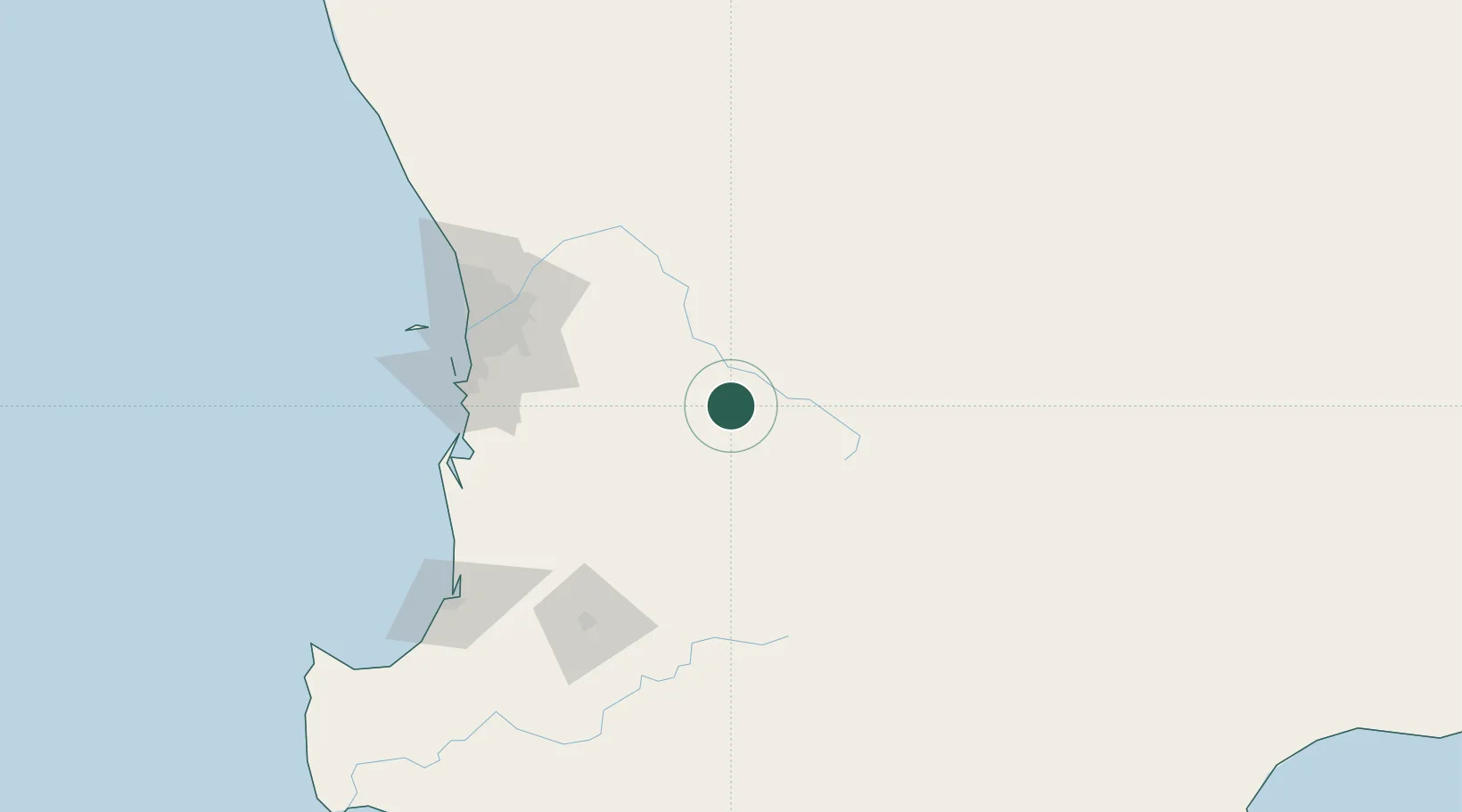
Hub Profile
Place type
Populated place
Region
Western Australia
Population
754
Time zone
Australia/Perth
Elevation
246 m
Location
Nearby Logistics Neighbours
Cities
- 1Pingelly18 km
- 2Quairading56 km
- 3York60 km
- 4Shelley62 km
- 5Williams73 km
Airports
- 1Perth International Airport109 km
- 2Perth Jandakot Airport110 km
- 3RAAF Base Pearce122 km
- 4Busselton Margaret River Regional Airport208 km
- 5Albany Airport294 km
Trade Zones
- 1KEK Mandalika2613 km
- 2Oecusse Ambeno Enclave Special Zone For Social Market Economy (Zeesm)2671 km
- 3KEK Singhasari2761 km
- 4Pasuruan Industrial Estate Rembang2789 km
- 5Ngoro Industrial Park2797 km
DatabookThe Record of Consolidated Knowledge
Australia beyond logistics?