Transport Functions
Rail
Road
Hub Profile
Place type
Populated place
Region
Western Australia
Population
382
Time zone
Australia/Perth
Elevation
24 m
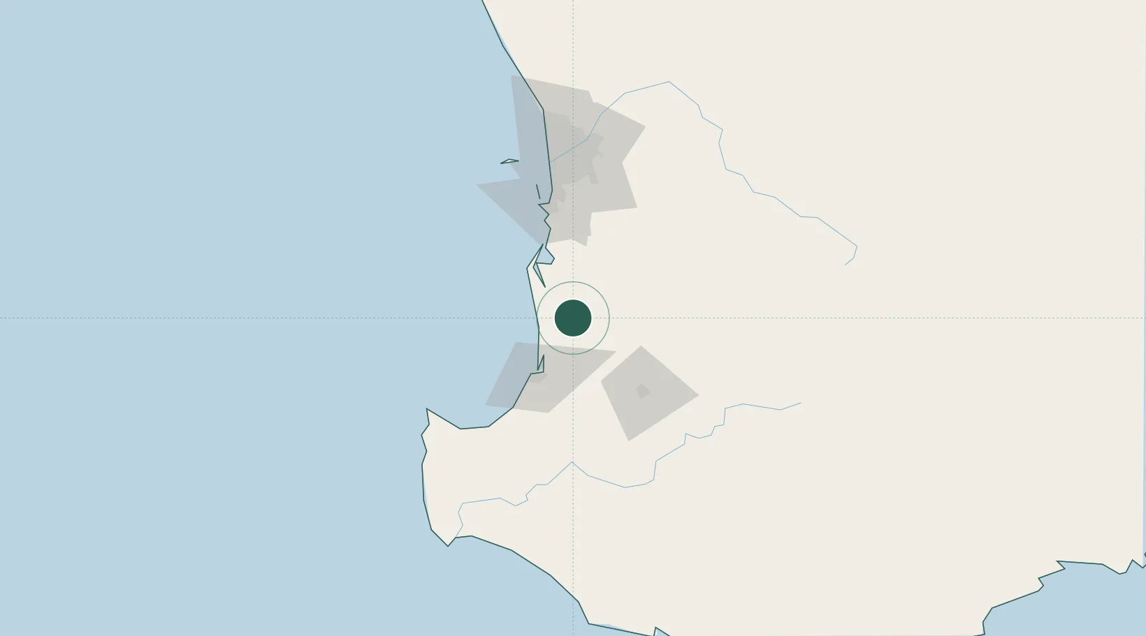
Location
Nearby Logistics Neighbours
Cities
- 1Harvey13 km
- 2Pinjarra37 km
- 3Australind39 km
- 4Furnissdale48 km
- 5Dardanup50 km
Airports
- 1Busselton Margaret River Regional Airport92 km
- 2Perth Jandakot Airport97 km
- 3Perth International Airport114 km
- 4RAAF Base Pearce145 km
- 5Albany Airport283 km
Trade Zones
- 1KEK Mandalika2677 km
- 2Oecusse Ambeno Enclave Special Zone For Social Market Economy (Zeesm)2766 km
- 3KEK Singhasari2809 km
- 4Pasuruan Industrial Estate Rembang2838 km
- 5Ngoro Industrial Park2845 km
DatabookThe Record of Consolidated Knowledge
Australia beyond logistics?