Transport Functions
Multimodal
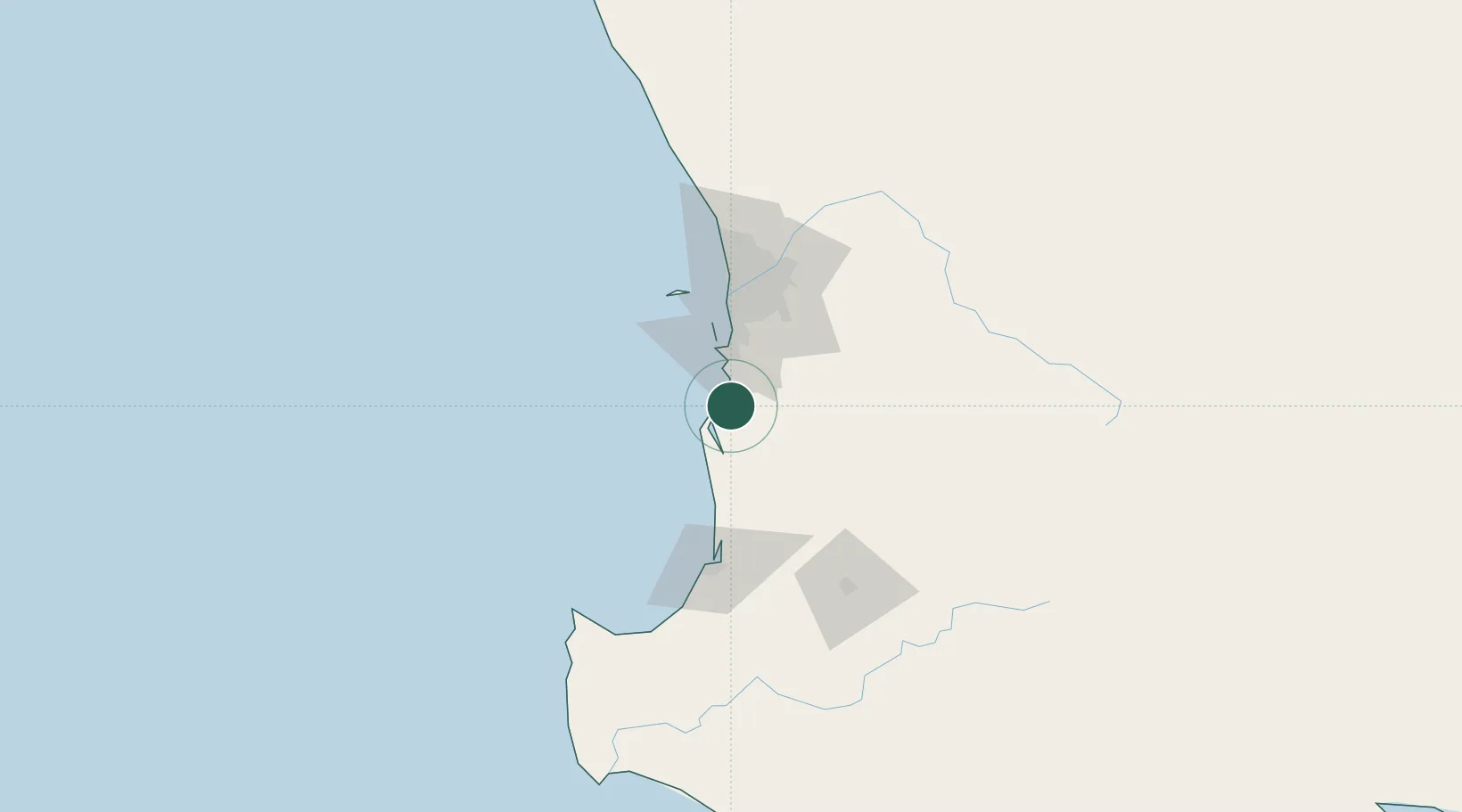
Hub Profile
Place type
Urban district
Region
Western Australia
Population
994
Time zone
Australia/Perth
Elevation
5 m
Location
Nearby Logistics Neighbours
Cities
- 1Pinjarra16 km
- 2Jarrahdale37 km
- 3Mandogalup39 km
- 4Naval Base41 km
- 5Kwinana42 km
Airports
- 1Perth Jandakot Airport52 km
- 2Perth International Airport71 km
- 3RAAF Base Pearce101 km
- 4Busselton Margaret River Regional Airport131 km
- 5Albany Airport327 km
Trade Zones
- 1KEK Mandalika2631 km
- 2Oecusse Ambeno Enclave Special Zone For Social Market Economy (Zeesm)2727 km
- 3KEK Singhasari2762 km
- 4Pasuruan Industrial Estate Rembang2790 km
- 5Ngoro Industrial Park2797 km
DatabookThe Record of Consolidated Knowledge
Australia beyond logistics?