UN/LOCODE hub · Australia
AUALI
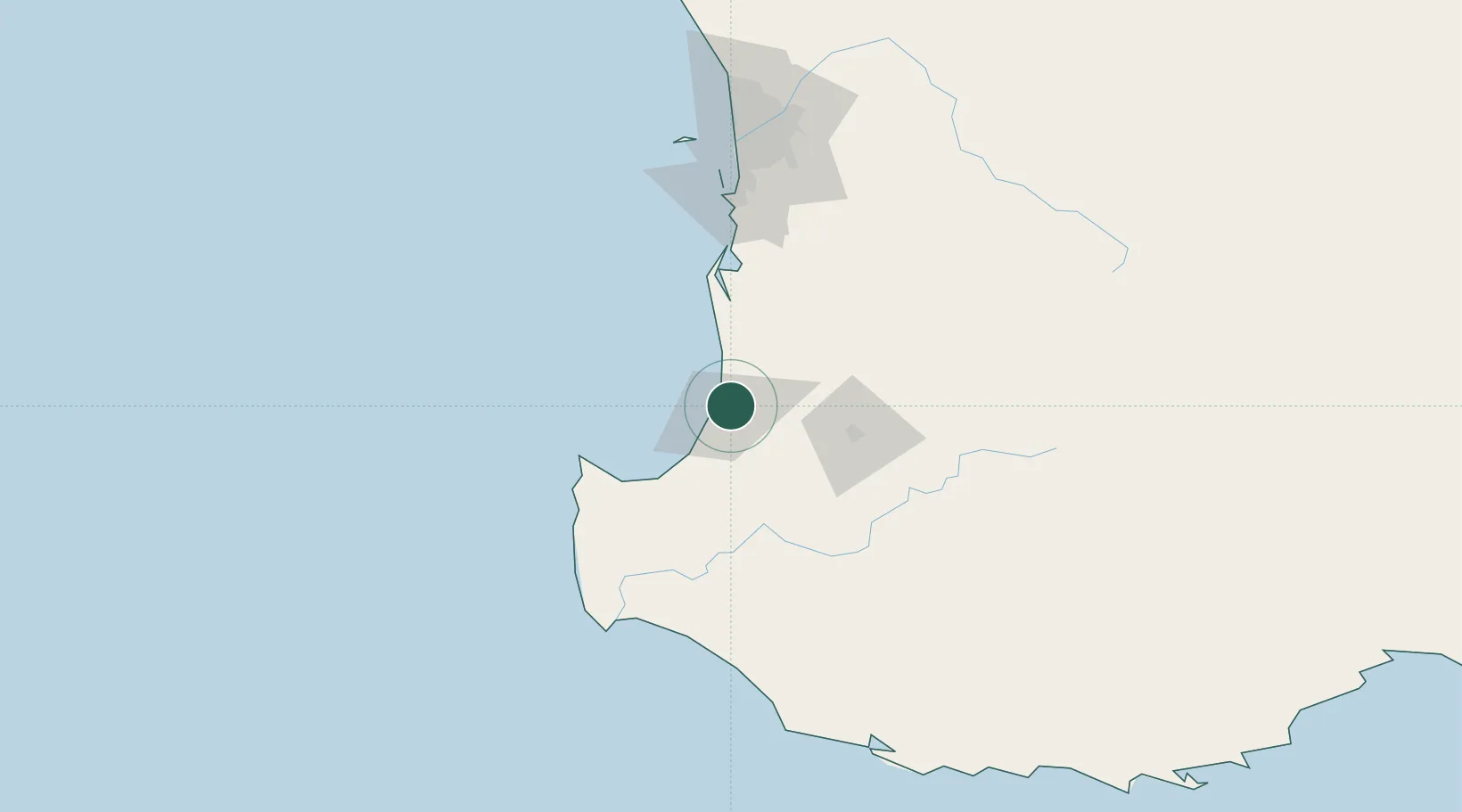
Australind
-33.2833°, 115.7167°
15,988
Population
2
Transport functions
Transport Functions
Port
Road
Hub Profile
Place type
Urban district
Region
Western Australia
Population
15,988
Time zone
Australia/Perth
Elevation
8 m
Location
Nearby Logistics Neighbours
Airports
- 1Busselton Margaret River Regional Airport54 km
- 2Perth Jandakot Airport133 km
- 3Perth International Airport151 km
- 4RAAF Base Pearce182 km
- 5Albany Airport267 km
Trade Zones
- 1KEK Mandalika2712 km
- 2Oecusse Ambeno Enclave Special Zone For Social Market Economy (Zeesm)2805 km
- 3KEK Singhasari2842 km
- 4Pasuruan Industrial Estate Rembang2871 km
- 5Ngoro Industrial Park2878 km
DatabookThe Record of Consolidated Knowledge
Australia beyond logistics?