Transport Functions
Rail
Road
Hub Profile
Place type
Populated place
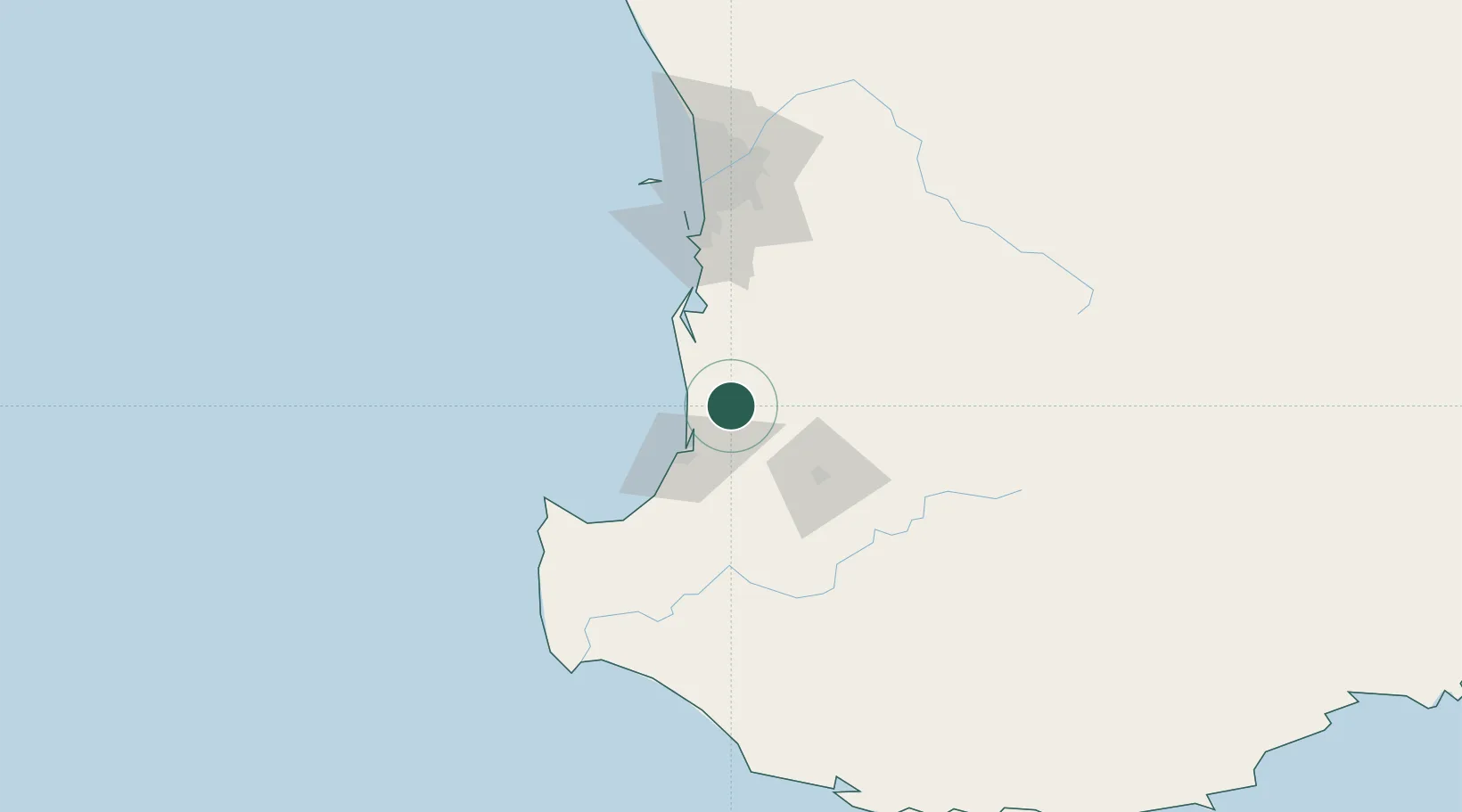
Region
Western Australia
Population
3,281
Time zone
Australia/Perth
Elevation
49 m
Location
Nearby Logistics Neighbours
Cities
- 1Yarloop13 km
- 2Australind27 km
- 3Dardanup37 km
- 4Boyanup47 km
- 5Pinjarra50 km
Airports
- 1Busselton Margaret River Regional Airport81 km
- 2Perth Jandakot Airport110 km
- 3Perth International Airport127 km
- 4RAAF Base Pearce158 km
- 5Albany Airport273 km
Trade Zones
- 1KEK Mandalika2690 km
- 2Oecusse Ambeno Enclave Special Zone For Social Market Economy (Zeesm)2778 km
- 3KEK Singhasari2822 km
- 4Pasuruan Industrial Estate Rembang2851 km
- 5Ngoro Industrial Park2858 km
DatabookThe Record of Consolidated Knowledge
Australia beyond logistics?