Transport Functions
Port
Multimodal
Hub Profile
Place type
Populated place
Region
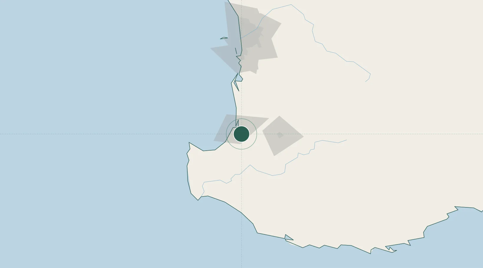
Western Australia
Population
500
Time zone
Australia/Perth
Elevation
30 m
Location
Nearby Logistics Neighbours
Cities
- 1Boyanup10 km
- 2Australind13 km
- 3Capel25 km
- 4Harvey37 km
- 5Yarloop50 km
Airports
- 1Busselton Margaret River Regional Airport46 km
- 2Perth Jandakot Airport145 km
- 3Perth International Airport164 km
- 4RAAF Base Pearce194 km
- 5Albany Airport256 km
Trade Zones
- 1KEK Mandalika2725 km
- 2Oecusse Ambeno Enclave Special Zone For Social Market Economy (Zeesm)2816 km
- 3KEK Singhasari2855 km
- 4Pasuruan Industrial Estate Rembang2884 km
- 5Ngoro Industrial Park2891 km
DatabookThe Record of Consolidated Knowledge
Australia beyond logistics?