Transport Functions
Rail
Road
Hub Profile
Place type
Populated place
Region
Western Australia
Population
4,746
Time zone
Australia/Perth
Elevation
10 m
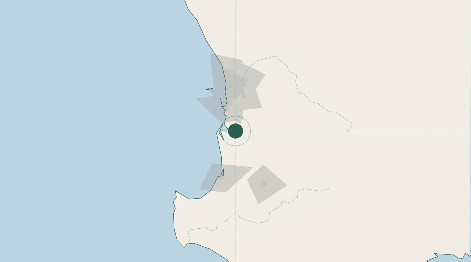
Location
Nearby Logistics Neighbours
Cities
- 1Furnissdale16 km
- 2Jarrahdale36 km
- 3Yarloop37 km
- 4Oakford48 km
- 5Mandogalup49 km
Airports
- 1Perth Jandakot Airport60 km
- 2Perth International Airport78 km
- 3RAAF Base Pearce108 km
- 4Busselton Margaret River Regional Airport126 km
- 5Albany Airport313 km
Trade Zones
- 1KEK Mandalika2640 km
- 2Oecusse Ambeno Enclave Special Zone For Social Market Economy (Zeesm)2731 km
- 3KEK Singhasari2773 km
- 4Pasuruan Industrial Estate Rembang2801 km
- 5Ngoro Industrial Park2808 km
DatabookThe Record of Consolidated Knowledge
Australia beyond logistics?