Transport Functions
Rail
Road
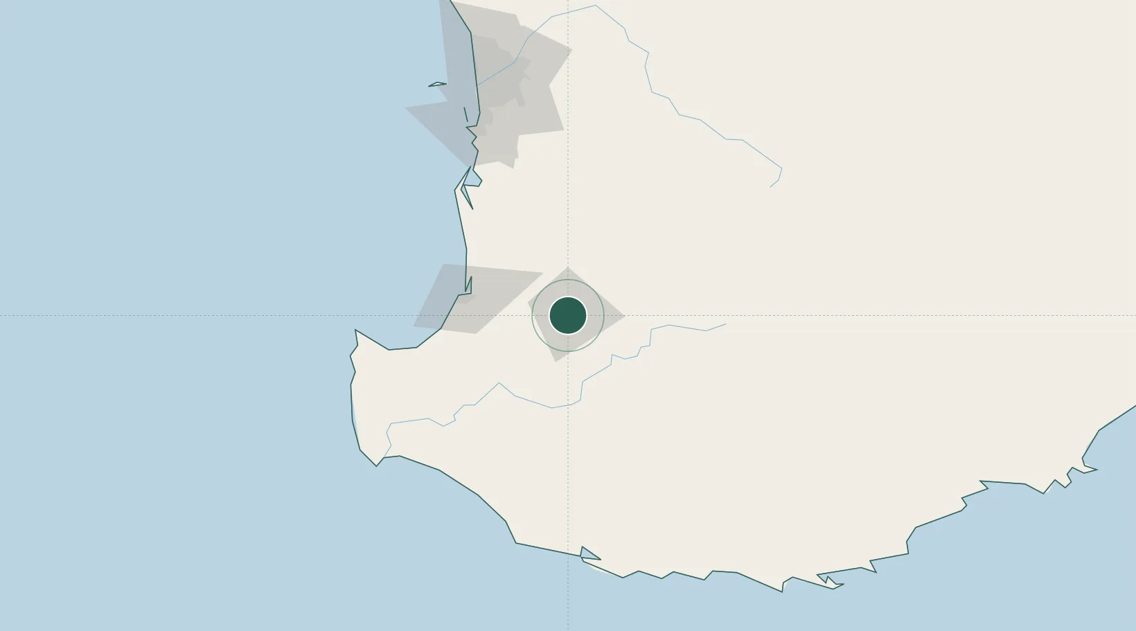
Hub Profile
Place type
Locality
Region
Western Australia
Population
21
Time zone
Australia/Perth
Elevation
236 m
Location
Nearby Logistics Neighbours
Cities
- 1Boyup Brook45 km
- 2Dardanup51 km
- 3Boyanup54 km
- 4Harvey55 km
- 5Australind57 km
Airports
- 1Busselton Margaret River Regional Airport88 km
- 2Perth Jandakot Airport154 km
- 3Perth International Airport169 km
- 4RAAF Base Pearce198 km
- 5Albany Airport218 km
Trade Zones
- 1KEK Mandalika2729 km
- 2Oecusse Ambeno Enclave Special Zone For Social Market Economy (Zeesm)2802 km
- 3KEK Singhasari2866 km
- 4Pasuruan Industrial Estate Rembang2894 km
- 5Ngoro Industrial Park2902 km
DatabookThe Record of Consolidated Knowledge
Australia beyond logistics?