Transport Functions
Rail
Road
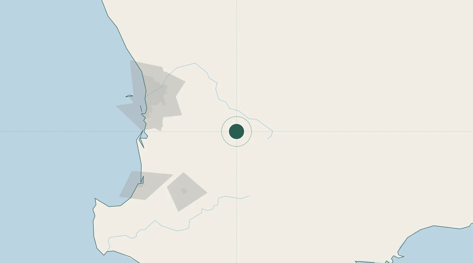
Hub Profile
Place type
Populated place
Region
Western Australia
Population
795
Time zone
Australia/Perth
Elevation
308 m
Location
Nearby Logistics Neighbours
Cities
- 1Brookton18 km
- 2Williams59 km
- 3Quairading65 km
- 4York78 km
- 5Shelley79 km
Airports
- 1Perth Jandakot Airport123 km
- 2Perth International Airport124 km
- 3RAAF Base Pearce139 km
- 4Busselton Margaret River Regional Airport203 km
- 5Albany Airport276 km
Trade Zones
- 1KEK Mandalika2630 km
- 2Oecusse Ambeno Enclave Special Zone For Social Market Economy (Zeesm)2684 km
- 3KEK Singhasari2779 km
- 4Pasuruan Industrial Estate Rembang2807 km
- 5Ngoro Industrial Park2815 km
DatabookThe Record of Consolidated Knowledge
Australia beyond logistics?