Medium airport · Australia

Chinchilla AirportYCCA
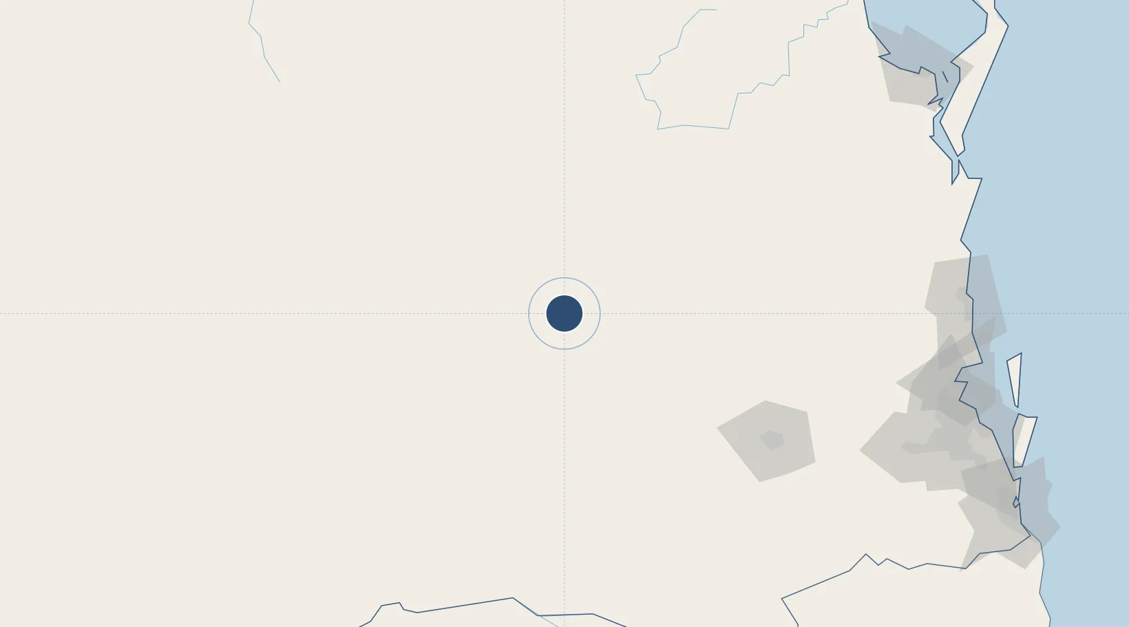
-26.7719°, 150.6176°
3,497 ft
Longest runway
2
Runways
1,028 ft
Elevation

Runway & Layout

Chinchilla Airport runway & taxiway layout
Runway & taxiway layout — OpenStreetMap (ODbL) / OurAirports

Radio Frequencies

CTAF
126.7 MHz
FSS
123.9 MHz
BRISBANE CNTR
OurAirports

Runways · 2

RunwayDimensions SurfaceTrue headingLit
14/32 3,497 × 60ft Asphalt 142°
03/21 1,949 × 60ft Clay 039°
OurAirports

Airport Specifications

IATA code
CCL
OurAirports
ICAO code
YCCA
OurAirports
Airport class
Medium airport
OurAirports
Scheduled service
No
OurAirports
Runway surface
Asphalt
OurAirports
Served city
Chinchilla
OurAirports

Location

Location of YCCA
Natural Earth 10m (public domain) · Queensland · YCCA · -26.77, 150.62GoogleOSMYandex

Nearby Logistics Neighbours

Airports
  1. 1Kingaroy Airport123 km
  2. 2Oakey Army Aviation Centre132 km
  3. 3Toowoomba Wellcamp Airport146 km
  4. 4Roma Airport185 km
  5. 5RAAF Base Amberley228 km
Nearest neighbours — logibook spatial index (haversine) over the source coordinates
Cities
  1. 1Columboola30 km
  2. 2Condamine51 km
  3. 3Wattle Park139 km
  4. 4Clontarf145 km
  5. 5Toowoomba City159 km
Nearest neighbours — logibook spatial index (haversine) over the source coordinates
Ports
  1. 1Brisbane251 km
  2. 2Bundaberg274 km
  3. 3Gladstone331 km
  4. 4Port Alma355 km
  5. 5Ballina372 km
Nearest neighbours — logibook spatial index (haversine) over the source coordinates
Trade Zones
  1. 1Latrobe Valley Economic Growth Zone1334 km
  2. 2Paga Hill Estate Special Economic Zone1957 km
  3. 3Vanuatu Economic Development Zone2121 km
  4. 4Ihu Special Economic Zone2170 km
  5. 5Tulagi Island Special Economic Zone2206 km
Nearest neighbours — logibook spatial index (haversine) over the source coordinates
DatabookThe Record of Consolidated Knowledge
Australia beyond logistics?
Browse databook

All Sources

AirportsOurAirports
Public domain
Portsthe NGA World Port Index
Public domain (US gov)
LocationsUN/LOCODE
UN/LOCODE — free
Trade Zonesthe World Bank SEZ database
CC BY 4.0
Trade ZonesOpen Zone Map
CC BY
InfrastructureOpenStreetMap
ODbL 1.0
← Australia airports