UN/LOCODE hub · Australia
AUTBC

Toowoomba City

-27.5667°, 151.9500°
2
Transport functions

Transport Functions

Rail
Road
UN/LOCODE

Hub Profile

Region
QLD
GeoNames

Location

Location of AUTBC
Natural Earth 10m (public domain) · QLD · AUTBC · -27.57, 151.95GoogleOSMYandex

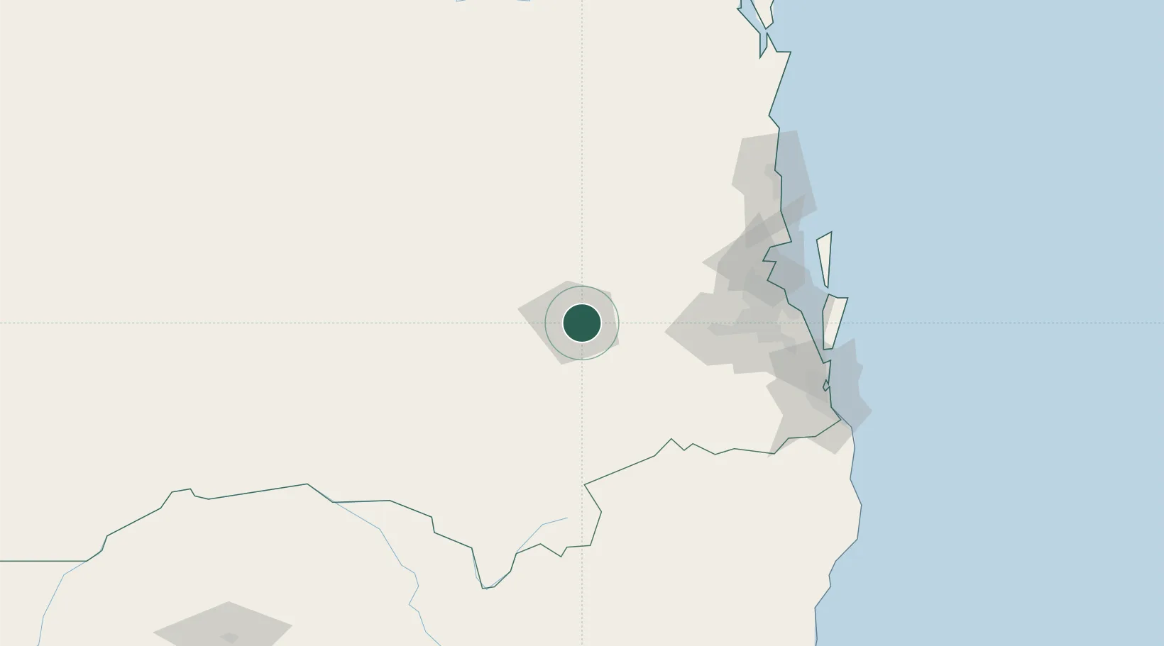
Nearby Logistics Neighbours

Cities
  1. 1Helidon18 km
  2. 2Grantham25 km
  3. 3Coominya58 km
  4. 4Clontarf85 km
  5. 5Redbank90 km
Nearest neighbours — logibook spatial index (haversine) over the source coordinates
Ports
  1. 1Brisbane107 km
  2. 2Ballina214 km
  3. 3Bundaberg303 km
  4. 4Gladstone419 km
  5. 5Port Alma457 km
Nearest neighbours — logibook spatial index (haversine) over the source coordinates
Airports
  1. 1Toowoomba Wellcamp Airport16 km
  2. 2Oakey Army Aviation Centre27 km
  3. 3RAAF Base Amberley75 km
  4. 4Kingaroy Airport110 km
  5. 5Brisbane International Airport117 km
Nearest neighbours — logibook spatial index (haversine) over the source coordinates
Trade Zones
  1. 1Latrobe Valley Economic Growth Zone1294 km
  2. 2Vanuatu Economic Development Zone2064 km
  3. 3Paga Hill Estate Special Economic Zone2073 km
  4. 4Tulagi Island Special Economic Zone2226 km
  5. 5Ihu Special Economic Zone2294 km
Nearest neighbours — logibook spatial index (haversine) over the source coordinates
DatabookThe Record of Consolidated Knowledge
Australia beyond logistics?
Browse databook

All Sources

LocationsUN/LOCODE
UN/LOCODE — free
Portsthe NGA World Port Index
Public domain (US gov)
AirportsOurAirports
Public domain
Trade Zonesthe World Bank SEZ database
CC BY 4.0
Trade ZonesOpen Zone Map
CC BY
← Australia locations