UN/LOCODE hub · Australia
AUGTH

Grantham

-27.5833°, 152.2000°
627
Population
2
Transport functions

Transport Functions

Port
Road
UN/LOCODE

Hub Profile

Place type
Populated place
GeoNames
Region
Queensland
GeoNames
Population
627
GeoNames
Time zone
Australia/Brisbane
GeoNames
Elevation
117 m
GeoNames

Location

Location of AUGTH
Natural Earth 10m (public domain) · Queensland · AUGTH · -27.58, 152.20GoogleOSMYandex

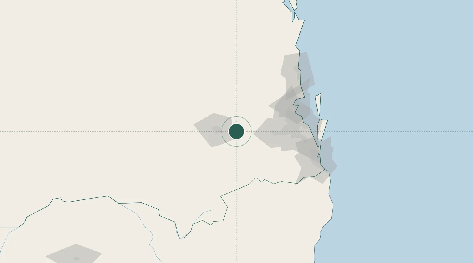
Nearby Logistics Neighbours

Cities
  1. 1Helidon8 km
  2. 2Toowoomba City25 km
  3. 3Coominya37 km
  4. 4Redbank66 km
  5. 5Sumner Park72 km
Nearest neighbours — logibook spatial index (haversine) over the source coordinates
Ports
  1. 1Brisbane83 km
  2. 2Ballina196 km
  3. 3Bundaberg302 km
  4. 4Gladstone426 km
  5. 5Port Alma465 km
Nearest neighbours — logibook spatial index (haversine) over the source coordinates
Airports
  1. 1Toowoomba Wellcamp Airport40 km
  2. 2Oakey Army Aviation Centre50 km
  3. 3RAAF Base Amberley51 km
  4. 4Brisbane International Airport93 km
  5. 5Kingaroy Airport117 km
Nearest neighbours — logibook spatial index (haversine) over the source coordinates
Trade Zones
  1. 1Latrobe Valley Economic Growth Zone1302 km
  2. 2Vanuatu Economic Development Zone2046 km
  3. 3Paga Hill Estate Special Economic Zone2081 km
  4. 4Tulagi Island Special Economic Zone2217 km
  5. 5Ihu Special Economic Zone2304 km
Nearest neighbours — logibook spatial index (haversine) over the source coordinates
DatabookThe Record of Consolidated Knowledge
Australia beyond logistics?
Browse databook

All Sources

LocationsUN/LOCODE
UN/LOCODE — free
LocationsGeoNames
CC BY 4.0
Portsthe NGA World Port Index
Public domain (US gov)
AirportsOurAirports
Public domain
Trade Zonesthe World Bank SEZ database
CC BY 4.0
Trade ZonesOpen Zone Map
CC BY
← Australia locations