Transport Functions
Multimodal
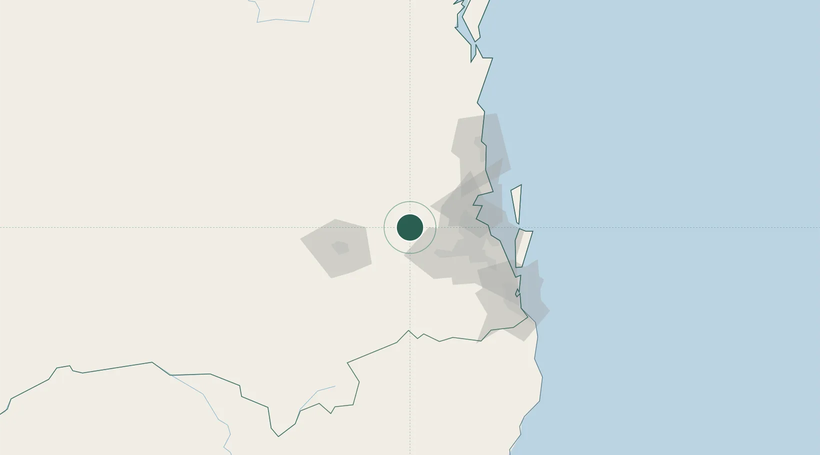
Hub Profile
Place type
Populated place
Region
Queensland
Population
1,207
Time zone
Australia/Brisbane
Elevation
84 m
Location
Nearby Logistics Neighbours
Cities
- 1Grantham37 km
- 2Helidon41 km
- 3Redbank44 km
- 4Arana Hills44 km
- 5Kenmore45 km
Airports
- 1RAAF Base Amberley35 km
- 2Brisbane International Airport61 km
- 3Toowoomba Wellcamp Airport72 km
- 4Oakey Army Aviation Centre75 km
- 5Sunshine Coast Airport105 km
Trade Zones
DatabookThe Record of Consolidated Knowledge
Australia beyond logistics?