Transport Functions
Rail
Road
Hub Profile
Place type
Urban district
Region
Queensland
Population
1,815
Time zone
Australia/Brisbane
Elevation
22 m
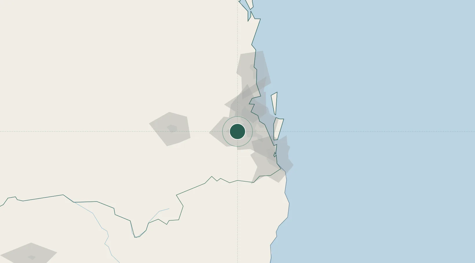
Location
Nearby Logistics Neighbours
Cities
- 1Sumner Park8 km
- 2Seventeen Mile Rocks/Brisbane10 km
- 3Kenmore11 km
- 4Fig Tree Pocket12 km
- 5Archerfield15 km
Airports
- 1RAAF Base Amberley16 km
- 2Brisbane International Airport34 km
- 3Gold Coast Airport89 km
- 4Toowoomba Wellcamp Airport106 km
- 5Oakey Army Aviation Centre113 km
Trade Zones
DatabookThe Record of Consolidated Knowledge
Australia beyond logistics?