Transport Functions
Rail
Road
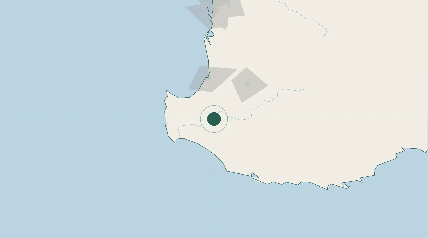
Hub Profile
Place type
Populated place
Region
Western Australia
Population
915
Time zone
Australia/Perth
Elevation
74 m
Location
Nearby Logistics Neighbours
Cities
- 1Bridgetown34 km
- 2Capel50 km
- 3Boyanup56 km
- 4Pemberton57 km
- 5Boyup Brook59 km
Airports
- 1Busselton Margaret River Regional Airport47 km
- 2Perth Jandakot Airport210 km
- 3Albany Airport216 km
- 4Perth International Airport228 km
- 5RAAF Base Pearce259 km
Trade Zones
- 1KEK Mandalika2790 km
- 2Oecusse Ambeno Enclave Special Zone For Social Market Economy (Zeesm)2876 km
- 3KEK Singhasari2920 km
- 4Pasuruan Industrial Estate Rembang2949 km
- 5Ngoro Industrial Park2956 km
DatabookThe Record of Consolidated Knowledge
Australia beyond logistics?