Transport Functions
Rail
Road
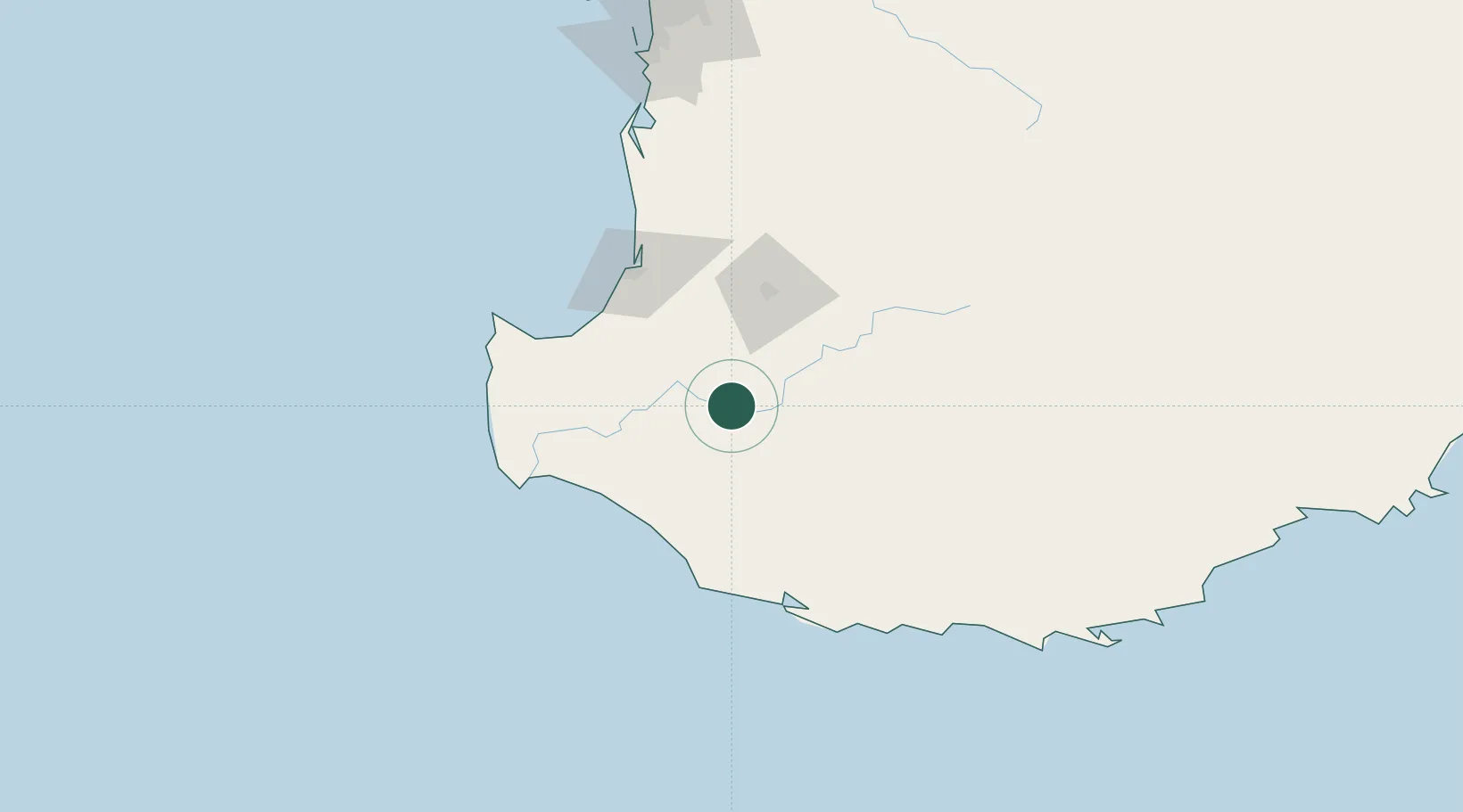
Hub Profile
Place type
Populated place
Region
Western Australia
Population
2,751
Time zone
Australia/Perth
Elevation
150 m
Location
Nearby Logistics Neighbours
Cities
- 1Boyup Brook27 km
- 2Nannup34 km
- 3Pemberton55 km
- 4Muja61 km
- 5Boyanup66 km
Airports
- 1Busselton Margaret River Regional Airport75 km
- 2Albany Airport188 km
- 3Perth Jandakot Airport209 km
- 4Perth International Airport226 km
- 5RAAF Base Pearce256 km
Trade Zones
- 1KEK Mandalika2788 km
- 2Oecusse Ambeno Enclave Special Zone For Social Market Economy (Zeesm)2863 km
- 3KEK Singhasari2923 km
- 4Pasuruan Industrial Estate Rembang2951 km
- 5Ngoro Industrial Park2958 km
DatabookThe Record of Consolidated Knowledge
Australia beyond logistics?