Transport Functions
Port
Road
Hub Profile
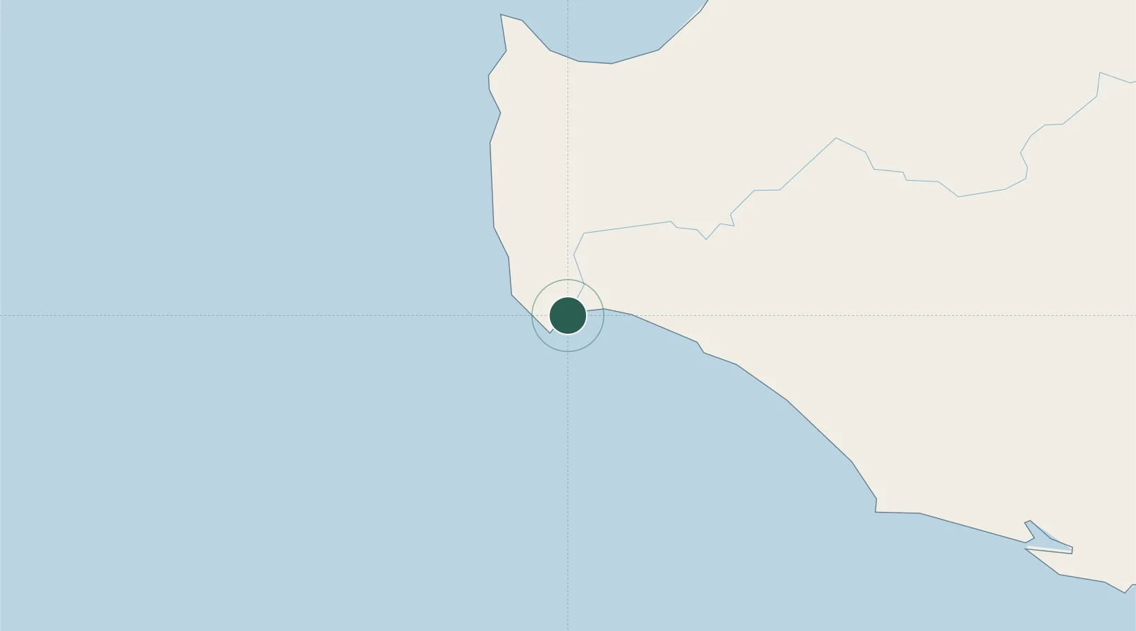
Place type
Populated place
Region
Western Australia
Population
1,362
Time zone
Australia/Perth
Elevation
37 m
Location
Nearby Logistics Neighbours
Cities
- 1Cowaramup51 km
- 2Nannup67 km
- 3Pemberton81 km
- 4Capel91 km
- 5Bridgetown97 km
Airports
- 1Busselton Margaret River Regional Airport73 km
- 2Albany Airport252 km
- 3Perth Jandakot Airport256 km
- 4Perth International Airport275 km
- 5RAAF Base Pearce305 km
Trade Zones
- 1KEK Mandalika2829 km
- 2Oecusse Ambeno Enclave Special Zone For Social Market Economy (Zeesm)2930 km
- 3KEK Singhasari2951 km
- 4Pasuruan Industrial Estate Rembang2980 km
- 5Ngoro Industrial Park2986 km
DatabookThe Record of Consolidated Knowledge
Australia beyond logistics?