Transport Functions
Rail
Road
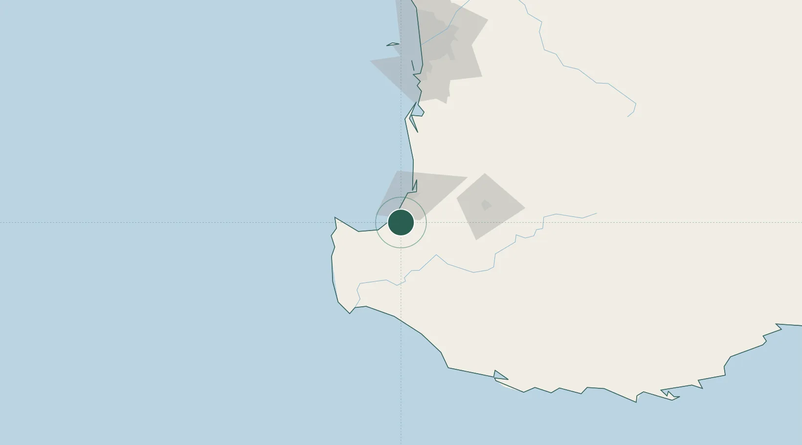
Hub Profile
Place type
Populated place
Region
Western Australia
Population
2,391
Time zone
Australia/Perth
Elevation
18 m
Location
Nearby Logistics Neighbours
Cities
- 1Boyanup17 km
- 2Dardanup25 km
- 3Australind34 km
- 4Nannup50 km
- 5Cowaramup56 km
Airports
- 1Busselton Margaret River Regional Airport20 km
- 2Perth Jandakot Airport166 km
- 3Perth International Airport185 km
- 4RAAF Base Pearce215 km
- 5Albany Airport257 km
Trade Zones
- 1KEK Mandalika2744 km
- 2Oecusse Ambeno Enclave Special Zone For Social Market Economy (Zeesm)2839 km
- 3KEK Singhasari2872 km
- 4Pasuruan Industrial Estate Rembang2901 km
- 5Ngoro Industrial Park2907 km
DatabookThe Record of Consolidated Knowledge
Australia beyond logistics?