UN/LOCODE hub · Australia
AUNSY

North Sydney

-33.8333°, 151.2000°
8,055
Population
1
Transport functions

Transport Functions

Multimodal
UN/LOCODE

Hub Profile

Place type
Urban district
GeoNames
Region
New South Wales
GeoNames
Population
8,055
GeoNames
Time zone
Australia/Sydney
GeoNames
Elevation
84 m
GeoNames

Location

Location of AUNSY
Natural Earth 10m (public domain) · New South Wales · AUNSY · -33.83, 151.20GoogleOSMYandex

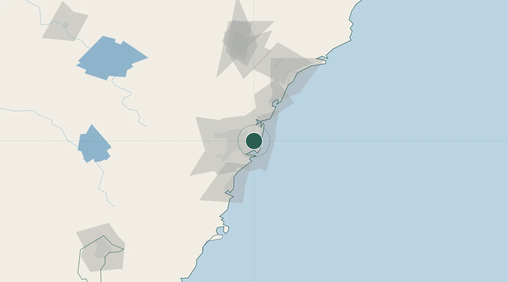
Nearby Logistics Neighbours

Cities
  1. 1Kurraba Point2 km
  2. 2Crows Nest2 km
  3. 3Saint Leonards2 km
  4. 4Rozelle4 km
  5. 5Pyrmont4 km
Nearest neighbours — logibook spatial index (haversine) over the source coordinates
Ports
  1. 1Sydney4 km
  2. 2Botany Bay19 km
  3. 3Port Kembla77 km
  4. 4Newcastle115 km
  5. 5Jervis Bay147 km
Nearest neighbours — logibook spatial index (haversine) over the source coordinates
Airports
  1. 1Sydney Kingsford Smith International Airport13 km
  2. 2Sydney Bankstown Airport22 km
  3. 3Palm Beach Seaplane Base30 km
  4. 4RAAF Base Richmond46 km
  5. 5Camden Airport53 km
Nearest neighbours — logibook spatial index (haversine) over the source coordinates
Trade Zones
  1. 1Latrobe Valley Economic Growth Zone653 km
  2. 2Hicks Bay Area Special Economic Zone2459 km
  3. 3Vanuatu Economic Development Zone2592 km
  4. 4Paga Hill Estate Special Economic Zone2739 km
  5. 5Tulagi Island Special Economic Zone2898 km
Nearest neighbours — logibook spatial index (haversine) over the source coordinates
DatabookThe Record of Consolidated Knowledge
Australia beyond logistics?
Browse databook

All Sources

LocationsUN/LOCODE
UN/LOCODE — free
LocationsGeoNames
CC BY 4.0
Portsthe NGA World Port Index
Public domain (US gov)
AirportsOurAirports
Public domain
Trade Zonesthe World Bank SEZ database
CC BY 4.0
Trade ZonesOpen Zone Map
CC BY
← Australia locations