UN/LOCODE hub · Australia
AUCWN

Crows Nest

-33.8167°, 151.2000°
4,657
Population
1
Transport functions

Transport Functions

Multimodal
UN/LOCODE

Hub Profile

Place type
Urban district
GeoNames
Region
New South Wales
GeoNames
Population
4,657
GeoNames
Time zone
Australia/Sydney
GeoNames
Elevation
96 m
GeoNames

Location

Location of AUCWN
Natural Earth 10m (public domain) · New South Wales · AUCWN · -33.82, 151.20GoogleOSMYandex

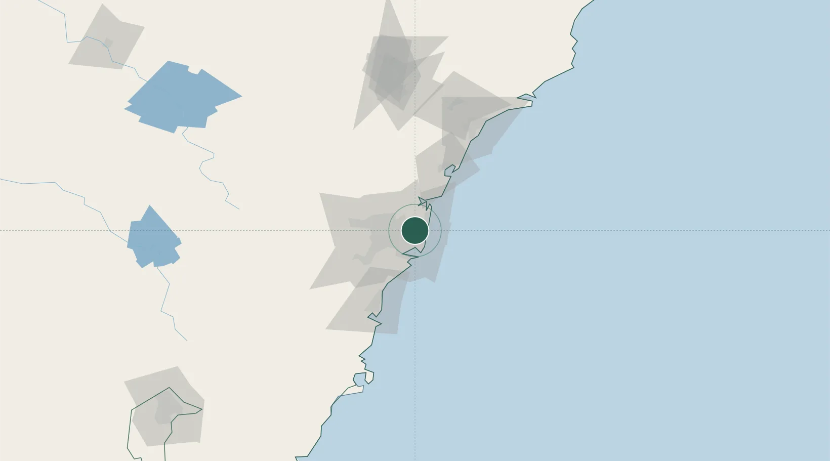
Nearby Logistics Neighbours

Cities
  1. 1Saint Leonards0 km
  2. 2North Sydney2 km
  3. 3Kurraba Point2 km
  4. 4North Bridge2 km
  5. 5Rozelle5 km
Nearest neighbours — logibook spatial index (haversine) over the source coordinates
Ports
  1. 1Sydney6 km
  2. 2Botany Bay21 km
  3. 3Port Kembla79 km
  4. 4Newcastle114 km
  5. 5Jervis Bay149 km
Nearest neighbours — logibook spatial index (haversine) over the source coordinates
Airports
  1. 1Sydney Kingsford Smith International Airport15 km
  2. 2Sydney Bankstown Airport23 km
  3. 3Palm Beach Seaplane Base28 km
  4. 4RAAF Base Richmond45 km
  5. 5Camden Airport53 km
Nearest neighbours — logibook spatial index (haversine) over the source coordinates
Trade Zones
  1. 1Latrobe Valley Economic Growth Zone654 km
  2. 2Hicks Bay Area Special Economic Zone2459 km
  3. 3Vanuatu Economic Development Zone2590 km
  4. 4Paga Hill Estate Special Economic Zone2737 km
  5. 5Tulagi Island Special Economic Zone2896 km
Nearest neighbours — logibook spatial index (haversine) over the source coordinates
DatabookThe Record of Consolidated Knowledge
Australia beyond logistics?
Browse databook

All Sources

LocationsUN/LOCODE
UN/LOCODE — free
LocationsGeoNames
CC BY 4.0
Portsthe NGA World Port Index
Public domain (US gov)
AirportsOurAirports
Public domain
Trade Zonesthe World Bank SEZ database
CC BY 4.0
Trade ZonesOpen Zone Map
CC BY
← Australia locations