Transport Functions
Rail
Road
Hub Profile
Place type
Populated place
Region
Western Australia
Population
1,163
Time zone
Australia/Perth
Elevation
40 m
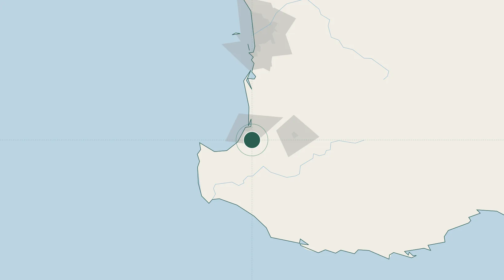
Location
Nearby Logistics Neighbours
Cities
- 1Dardanup10 km
- 2Capel17 km
- 3Australind22 km
- 4Harvey47 km
- 5Muja54 km
Airports
- 1Busselton Margaret River Regional Airport37 km
- 2Perth Jandakot Airport155 km
- 3Perth International Airport173 km
- 4RAAF Base Pearce204 km
- 5Albany Airport252 km
Trade Zones
- 1KEK Mandalika2735 km
- 2Oecusse Ambeno Enclave Special Zone For Social Market Economy (Zeesm)2826 km
- 3KEK Singhasari2864 km
- 4Pasuruan Industrial Estate Rembang2893 km
- 5Ngoro Industrial Park2900 km
DatabookThe Record of Consolidated Knowledge
Australia beyond logistics?