UN/LOCODE hub · Australia
AUCHT

Chittering

-31.4833°, 116.1000°
896
Population
2
Transport functions

Transport Functions

Port
Multimodal
UN/LOCODE

Hub Profile

Place type
Populated place
GeoNames
Region
Western Australia
GeoNames
Population
896
GeoNames
Time zone
Australia/Perth
GeoNames
Elevation
203 m
GeoNames

Location

Location of AUCHT
Natural Earth 10m (public domain) · Western Australia · AUCHT · -31.48, 116.10GoogleOSMYandex

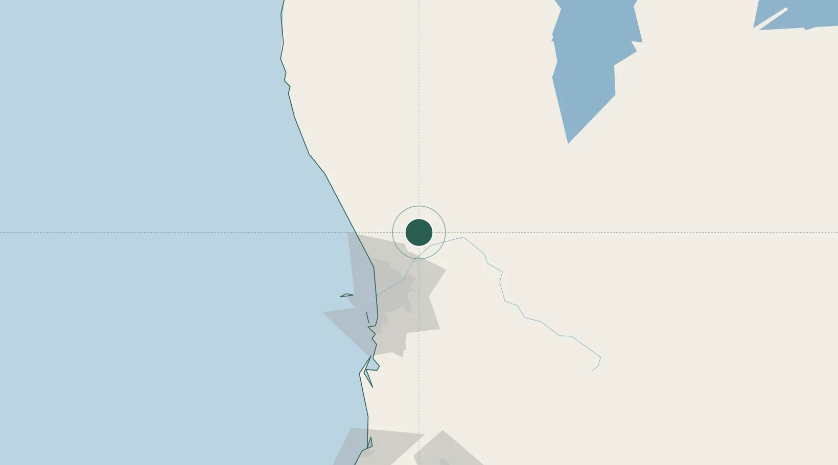
Nearby Logistics Neighbours

Cities
  1. 1Muchea17 km
  2. 2Bullsbrook23 km
  3. 3Gingin24 km
  4. 4Toodyay36 km
  5. 5Wangara43 km
Nearest neighbours — logibook spatial index (haversine) over the source coordinates
Ports
  1. 1Fremantle71 km
  2. 2Bunbury209 km
  3. 3Geraldton333 km
  4. 4Albany428 km
  5. 5Esperance604 km
Nearest neighbours — logibook spatial index (haversine) over the source coordinates
Airports
  1. 1RAAF Base Pearce22 km
  2. 2Perth International Airport52 km
  3. 3Perth Jandakot Airport71 km
  4. 4Busselton Margaret River Regional Airport254 km
  5. 5Karara Airport258 km
Nearest neighbours — logibook spatial index (haversine) over the source coordinates
Trade Zones
  1. 1KEK Mandalika2512 km
  2. 2Oecusse Ambeno Enclave Special Zone For Social Market Economy (Zeesm)2605 km
  3. 3KEK Singhasari2649 km
  4. 4Pasuruan Industrial Estate Rembang2677 km
  5. 5Ngoro Industrial Park2684 km
Nearest neighbours — logibook spatial index (haversine) over the source coordinates
DatabookThe Record of Consolidated Knowledge
Australia beyond logistics?
Browse databook

All Sources

LocationsUN/LOCODE
UN/LOCODE — free
LocationsGeoNames
CC BY 4.0
Portsthe NGA World Port Index
Public domain (US gov)
AirportsOurAirports
Public domain
Trade Zonesthe World Bank SEZ database
CC BY 4.0
Trade ZonesOpen Zone Map
CC BY
← Australia locations